Branchen
Unternehmensverteilung nach Branche in Lyndoch
| Branchenbeschreibung | Anzahl der Betriebe |
|---|---|
| Sonstige Beherbergungsstätten | 19 |
| Läden für Wein, Bier und Spirituosen | 12 |
| Restaurants | 12 |
| Hochbau | 8 |
| Einkaufen | 8 |
| Schönheitssalon | 6 |
| Weinkellerei | 6 |
| Immobilien | 5 |
| Alle Lebensmittel und Getränke | 5 |
Lyndoch Facts
| Gebiet | 3.5 km² |
| Bevölkerung | 1.980 |
| Männliche Bevölkerung | 987 (49.9%) |
| Weibliche Bevölkerung | 993 (50.1%) |
| Population change (1975 to 2020) | +87.7% |
| Population change (2000 to 2020) | +35.6% |
| Mittleres Alter | 38.3 years (Male: 39.6, Female: 37.3) |
| Stadtviertel | Barossa Valley |
| Zeit vor Ort | |
| Zeitzone | Zentralaustralische Normalzeit |
| Geogr. Länge & Breite | -34.60124, 138.89094 |
Karte von Lyndoch
Interaktive Karte
Bevölkerung von Lyndoch
Jahre 1975 bis 2020
| Data | 1975 | 1990 | 2000 | 2015 | 2020 |
|---|---|---|---|---|---|
| Bevölkerung | 1.055 | 1.305 | 1.460 | 1.833 | 1.980 |
| Bevölkerungsdichte | 301,4 / km² | 372,9 / km² | 417,1 / km² | 523,7 / km² | 565,7 / km² |
Bevölkerungsänderung in Lyndoch von 2000 bis 2015
Anstieg um 25.5 % von 2000 bis 2015
| Standort | Änderung seit 1975 | Änderung seit 1990 | Änderung seit 2000 |
|---|---|---|---|
| Lyndoch | +73.7% | +40.5% | +25.5% |
| South Australia | +72.6% | +40.2% | +25.5% |
| Australien | +72.6% | +40.3% | +25.5% |
Medianalter von Lyndoch
Medianalter: 38.3 Jahre
| Standort | Mittleres Alter | Durchschnittsalter (weiblich) | Durchschnittsalter (männlich) |
|---|---|---|---|
| Lyndoch | 38.3 yrs | 37.3 yrs | 39.6 yrs |
| South Australia | 39.8 yrs | 40.9 yrs | 38.7 yrs |
| Australien | 37.7 yrs | 38.6 yrs | 36.8 yrs |
Bevölkerungsdichte von Lyndoch
Bevölkerungsdichte: 566 / km²
| Standort | Bevölkerung | Gebiet | Dichte |
|---|---|---|---|
| Lyndoch | 1.980 | 3,5 km² | 566 / km² |
| South Australia | 1,8 million | 984.135 km² | 1,8 / km² |
| Australien | 23,8 million | 7.690.961,5 km² | 3,1 / km² |
Historische und prognostizierte Bevölkerung von Lyndoch
Geschätzte Bevölkerung von 1850 bis 2100
- JRC (Gemeinsame Forschungsstelle der Europäischen Kommission) arbeitet an GHS built-up grid
- CIESIN (Center for International Earth Science Information Network)
- [Verknüpfung] Klein Goldewijk, K., Beusen, A., Doelman, J., and Stehfest, E.: Anthropogenic land use estimates for the Holocene – HYDE 3.2, Earth Syst. Sci. Data, 9, 927–953, https://doi.org/10.5194/essd-9-927-2017, 2017.
Price Distribution
Geschäftsverteilung nach Preis für Lyndoch
Human Development Index (HDI)
Statistischer zusammengesetzter Index der Lebenserwartung, der Bildung und des Pro-Kopf-Einkommens.
CO2-Emissionen von Lyndoch
Kohlendioxid (CO2) -Emissionen pro Kopf in Tonnen pro Jahr
| Standort | CO2-Emissionen | CO2-Emissionen pro Kopf | Intensität der CO2-Emissionen |
|---|---|---|---|
| Lyndoch | 36,573 tn | 18.47 tn | 10,449.6 tons/km² |
| South Australia | 29,524,673 tn | 16.77 tn | 30 tons/km² |
| Australien | 401,155,564 tn | 16.88 tn | 52.2 tons/km² |
| CO2-Emissionen 2013 (Tonnen/Jahr) | 36,573 tn |
| CO2-Emissionen 2013 (Tonnen/Jahr) pro Kopf | 18.47 tn |
| CO2-Emissionsintensität 2013 (Tonnen/km²/Jahr) | 10,449.6 tons/km² |
Naturgefahrenrisiko
Relatives Risiko von 10
| Gefahr | Risikostufe |
|---|---|
| Dürre | Hoch (9) |
| Erdbeben | Mittel (4) |
* Das Risiko, insbesondere in Bezug auf Überschwemmungen oder Erdrutsche, gilt möglicherweise nicht für das gesamte Gebiet.
- Dilley, M., R.S. Chen, U. Deichmann, A.L. Lerner-Lam, M. Arnold, J. Agwe, P. Buys, O. Kjekstad, B. Lyon, and G. Yetman. 2005. Natural Disaster Hotspots: A Global Risk Analysis. Washington, D.C.: World Bank. https://doi.org/10.1596/0-8213-5930-4.
- Center for Hazards and Risk Research - CHRR - Columbia University, Center for International Earth Science Information Network - CIESIN - Columbia University, and International Research Institute for Climate and Society - IRI - Columbia University. 2005. Global Drought Hazard Frequency and Distribution. Palisades, NY: NASA Socioeconomic Data and Applications Center (SEDAC). https://doi.org/10.7927/H4VX0DFT.
- Center for Hazards and Risk Research - CHRR - Columbia University, Center for International Earth Science Information Network - CIESIN - Columbia University. 2005. Global Earthquake Hazard Distribution - Peak Ground Acceleration. Palisades, NY: NASA Socioeconomic Data and Applications Center (SEDAC). https://doi.org/10.7927/H4BZ63ZS.
Aktuelle Erdbeben in der Nähe
Magnitude 3.0 und höher
| Datum▼ | Zeit↕ | Magnitude↕ | Distance↕ | Tiefe↕ | Standort↕ | Verknüpfung |
|---|---|---|---|---|---|---|
| 8/8/18 | 11:01 AM | 3.2 | 40.7 km | 13,000 m | 12km WNW of Mannum, Australia | usgs.gov |
| 2/1/17 | 1:37 PM | 3.9 | 57.8 km | 10,000 m | 9km NW of Murray Bridge, Australia | usgs.gov |
| 10/18/11 | 3:52 PM | 3.3 | 52.1 km | 17,000 m | near the coast of South Australia | usgs.gov |
| 4/16/10 | 1:57 PM | 3.8 | 61.1 km | 0 m | near the coast of South Australia | usgs.gov |
| 5/23/04 | 6:35 PM | 3.3 | 35.2 km | 18,000 m | near the coast of South Australia | usgs.gov |
| 3/11/00 | 3:29 AM | 3 | 70.8 km | 10,000 m | near the coast of South Australia | usgs.gov |
| 1/22/99 | 3:15 PM | 3.8 | 70.9 km | 10,000 m | near the coast of South Australia | usgs.gov |
| 8/17/91 | 6:28 AM | 4.1 | 48.1 km | 33,000 m | near the coast of South Australia | usgs.gov |
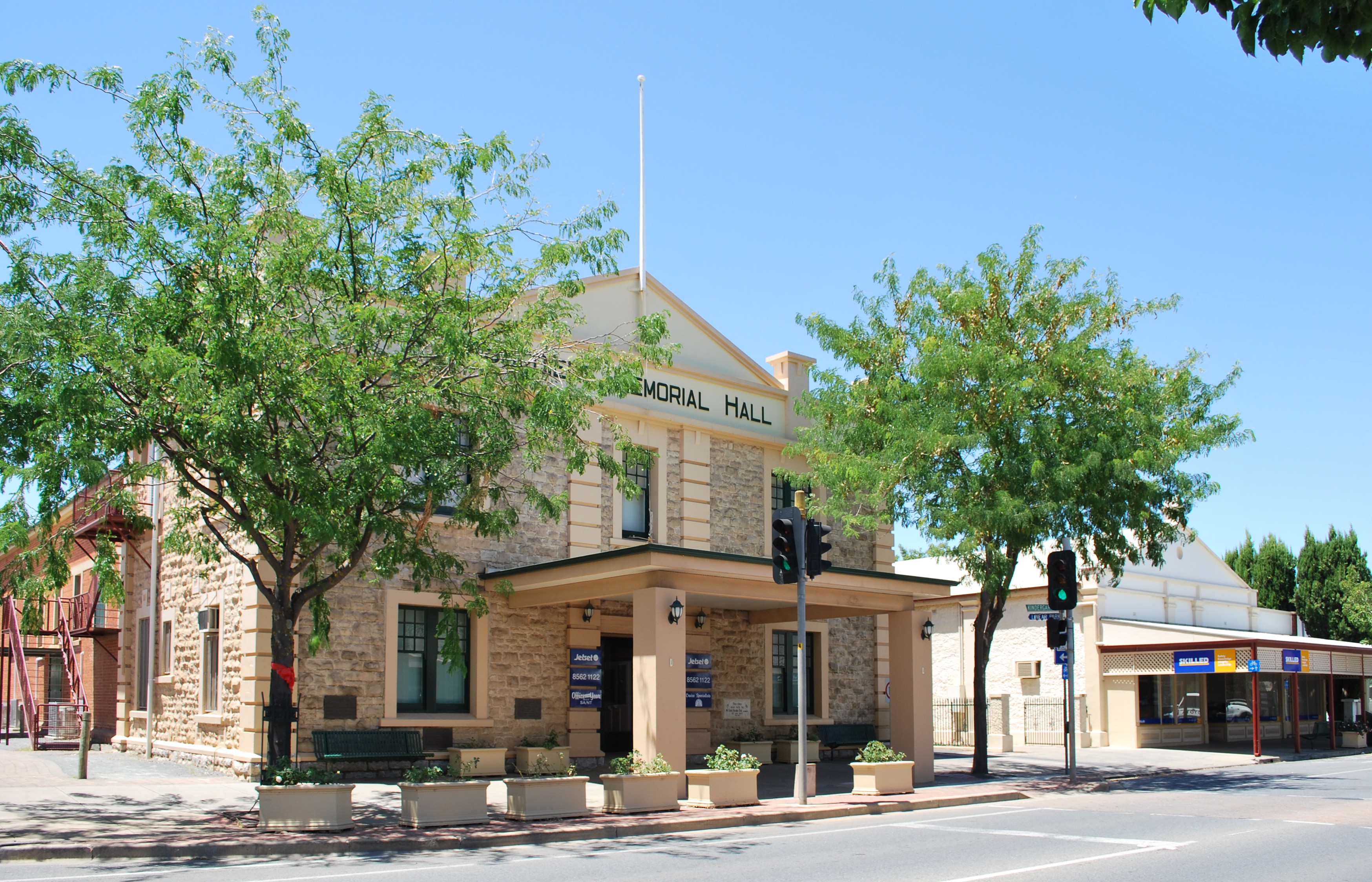
Lyndoch
Lyndoch ist eine Stadt im Barossa Valley, South Australia, 58 Kilometer nordöstlich von Adelaide. Stadt liegt am südlichen Ende des Barossa Valley zwischen Gawler und Tanunda am Barossa Valley Highway 175 Meter über dem Meeresspiegel. 2006 lebten 1400 Mensche..
Lyndoch Wikipedia-Seite


Über unsere Daten
Die Daten auf dieser Seite werden anhand verschiedener öffentlich zugänglicher Werkzeuge und Quellen geschätzt. Sie werden ohne Gewähr bereitgestellt und können Ungenauigkeiten enthalten. Nutzung auf eigene Gefahr.