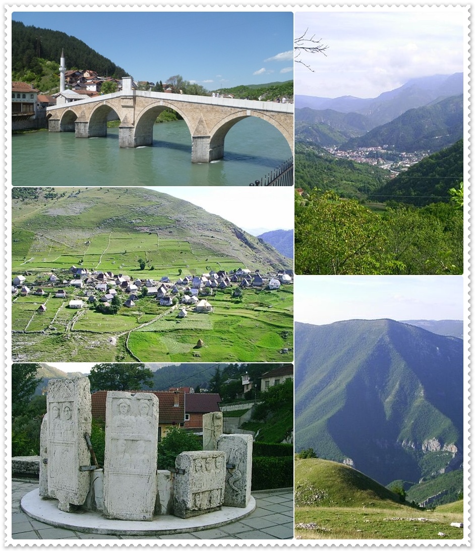
Ljuta Facts
| Zeit vor Ort | |
| Zeitzone | Mitteleuropäische Sommerzeit |
| Geogr. Länge & Breite | 43.64306, 18.02323 |
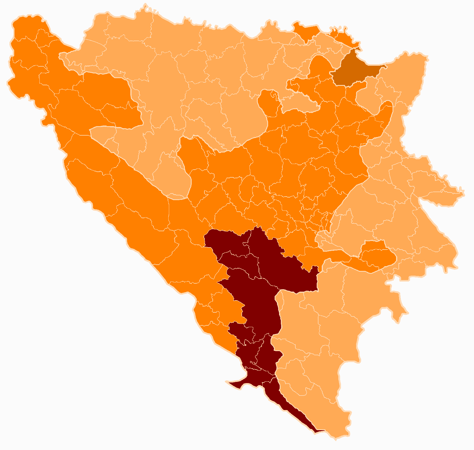
Karte von Ljuta
Interaktive Karte
Aktuelle Erdbeben in der Nähe
Magnitude 3.0 und höher
| Datum▼ | Zeit↕ | Magnitude↕ | Distance↕ | Tiefe↕ | Standort↕ | Verknüpfung |
|---|---|---|---|---|---|---|
| 5/26/19 | 3:25 PM | 3.1 | 43.8 km | 10,000 m | 8km W of Nevesinje, Bosnia and Herzegovina | usgs.gov |
| 12/29/17 | 1:00 PM | 4 | 46.7 km | 10,000 m | 7km ESE of Blagaj, Bosnia and Herzegovina | usgs.gov |
| 11/3/17 | 12:59 PM | 4.1 | 53.7 km | 10,000 m | 4km SE of Citluk, Bosnia and Herzegovina | usgs.gov |
| 10/25/17 | 10:58 PM | 4 | 41 km | 5,950 m | 12km SSW of Prozor, Bosnia and Herzegovina | usgs.gov |
| 10/25/17 | 10:50 PM | 4.3 | 43 km | 11,600 m | 8km S of Rumboci, Bosnia and Herzegovina | usgs.gov |
| 10/25/17 | 10:46 PM | 4.1 | 39.7 km | 10,000 m | 10km SSW of Prozor, Bosnia and Herzegovina | usgs.gov |
| 8/28/17 | 4:01 AM | 4 | 48.3 km | 10,000 m | 7km NNW of Citluk, Bosnia and Herzegovina | usgs.gov |
| 6/13/17 | 10:29 PM | 4.1 | 52.8 km | 4,730 m | 5km ESE of Citluk, Bosnia and Herzegovina | usgs.gov |
| 10/31/16 | 9:38 AM | 4.3 | 46.6 km | 7,150 m | 3km SE of Blagaj, Bosnia and Herzegovina | usgs.gov |
| 2/28/15 | 8:24 AM | 4.1 | 33.8 km | 5,000 m | 21km SSE of Gracanica, Bosnia and Herzegovina | usgs.gov |
Quelle: U.S. Geological Survey (USGS)

Über unsere Daten
Die Daten auf dieser Seite werden anhand verschiedener öffentlich zugänglicher Werkzeuge und Quellen geschätzt. Sie werden ohne Gewähr bereitgestellt und können Ungenauigkeiten enthalten. Nutzung auf eigene Gefahr.