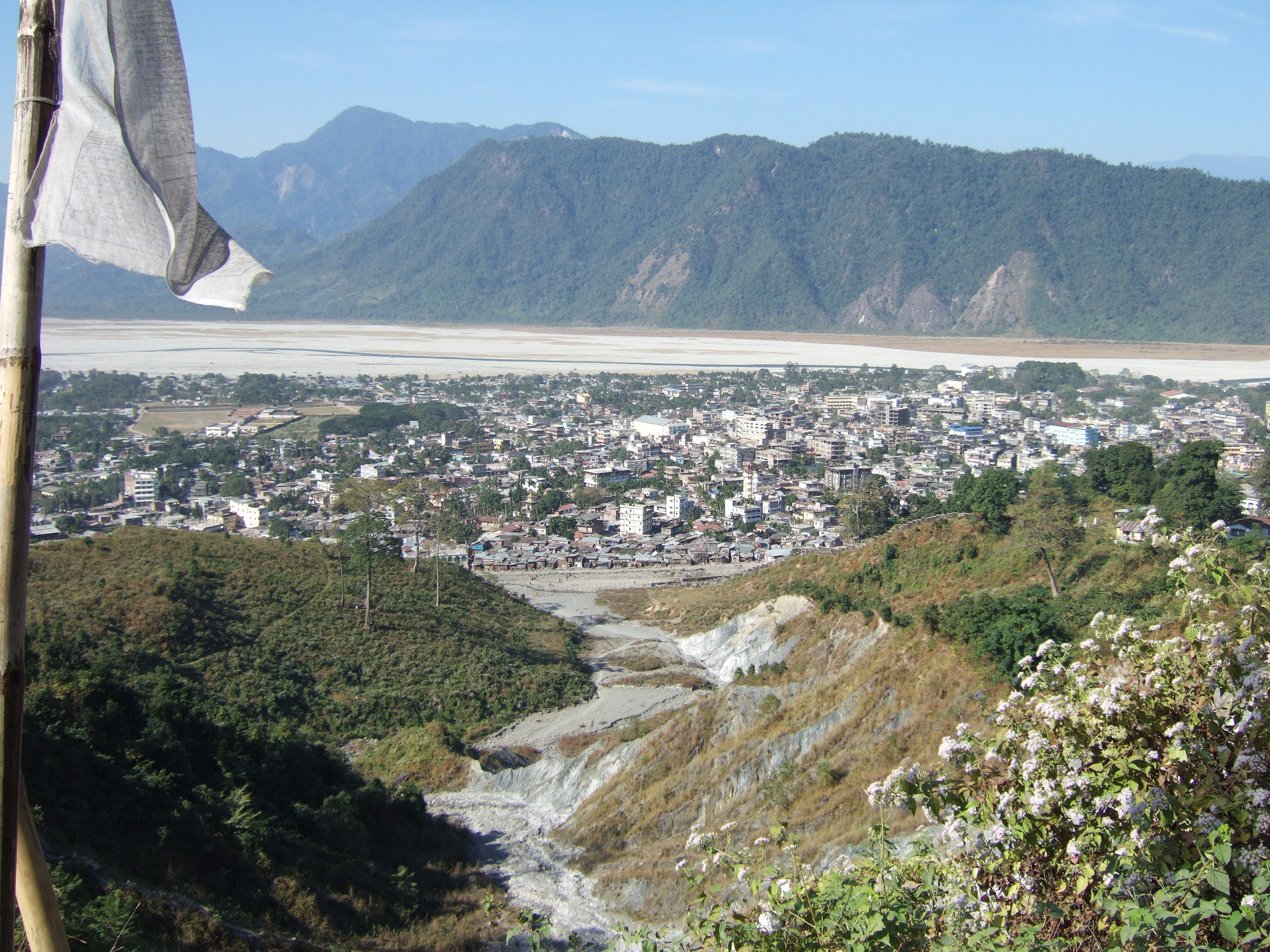
Chapchha Facts
| Zeit vor Ort | |
| Zeitzone | Bhutan-Zeit |
| Geogr. Länge & Breite | 27.20000, 89.55000 |
Karte von Chapchha
Interaktive Karte
Aktuelle Erdbeben in der Nähe
Magnitude 3.0 und höher
| Datum▼ | Zeit↕ | Magnitude↕ | Distance↕ | Tiefe↕ | Standort↕ | Verknüpfung |
|---|---|---|---|---|---|---|
| 1/16/19 | 11:56 PM | 3.8 | 65.8 km | 10,000 m | 27km NW of Samtse, Bhutan | usgs.gov |
| 5/24/17 | 3:16 AM | 4.4 | 71.8 km | 28,390 m | 28km E of Wangdue Phodrang, Bhutan | usgs.gov |
| 3/26/17 | 9:42 PM | 4.5 | 99 km | 24,390 m | 5km SSE of Rangpo, India | usgs.gov |
| 3/7/17 | 10:28 AM | 4 | 53.5 km | 10,000 m | 2km NE of Samtse, Bhutan | usgs.gov |
| 3/12/16 | 4:15 PM | 3.9 | 65.5 km | 14,880 m | 9km NW of Birpara, India | usgs.gov |
| 2/13/16 | 9:37 PM | 3.7 | 40.7 km | 50,320 m | 16km NNE of Samtse, Bhutan | usgs.gov |
| 10/10/15 | 1:48 AM | 4.3 | 74.4 km | 48,220 m | 20km ESE of Gangtok, India | usgs.gov |
| 11/17/14 | 2:06 AM | 4.2 | 83 km | 31,870 m | 19km W of Trongsa, Bhutan | usgs.gov |
| 5/30/14 | 6:37 AM | 4 | 98 km | 10,000 m | 18km NNW of Kokrajhar, India | usgs.gov |
| 12/4/13 | 1:05 PM | 4.7 | 67.8 km | 13,600 m | 27km SE of Hasimara, India | usgs.gov |
Quelle: U.S. Geological Survey (USGS)

Über unsere Daten
Die Daten auf dieser Seite werden anhand verschiedener öffentlich zugänglicher Werkzeuge und Quellen geschätzt. Sie werden ohne Gewähr bereitgestellt und können Ungenauigkeiten enthalten. Nutzung auf eigene Gefahr.