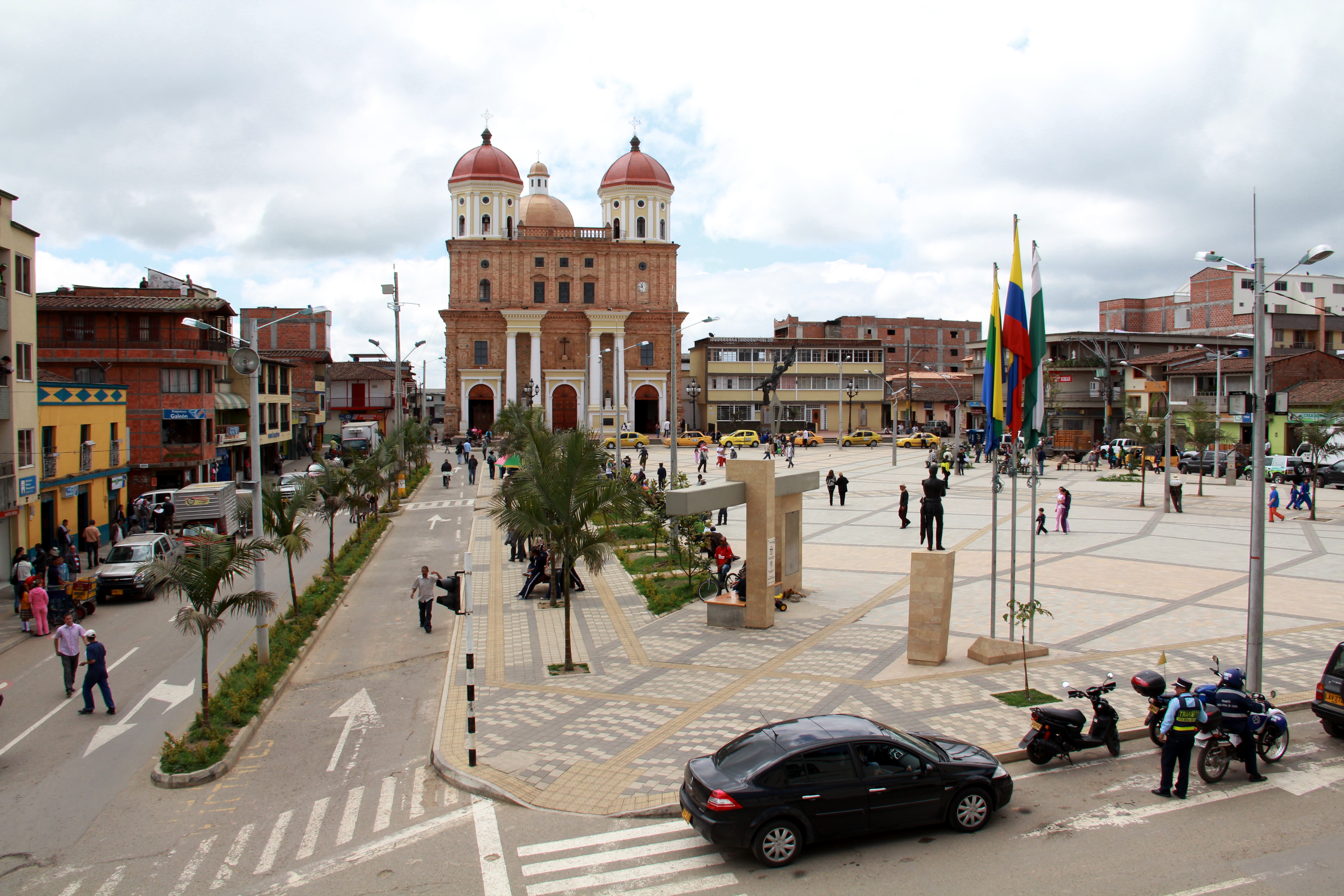
Kategorien in Cisneros
Branchen
Unternehmensverteilung nach Branche in Cisneros
| Branchenbeschreibung | Anzahl der Betriebe |
|---|---|
| Restaurants | 19 |
| Bars, Kneipen und Wirtshäuser | 17 |
| Einkaufen | 17 |
| Hotels und Motels | 15 |
| Sonstige Beherbergungsstätten | 10 |
| Bekleidungsladen | 9 |
| Erziehung und Unterricht | 9 |
| Lebensmittelläden und Supermärkte | 8 |
| Cafés | 5 |
| Baumarkt | 5 |
| Kirchen | 5 |
| Gemischtwarenladen | 5 |
Cisneros Facts
| Gebiet | 38.1 km² |
| Bevölkerung | 13.982 |
| Männliche Bevölkerung | 6.850 (49.0%) |
| Weibliche Bevölkerung | 7.132 (51.0%) |
| Population change (1975 to 2020) | +116.6% |
| Population change (2000 to 2020) | +20.0% |
| Mittleres Alter | 26.5 years (Male: 25.5, Female: 27.6) |
| Zeit vor Ort | |
| Zeitzone | Kolumbianische Normalzeit |
| Geogr. Länge & Breite | 6.53833, -75.08861 |
| Postleitzahlen | 053050, 053057 |
Karte von Cisneros
Interaktive Karte
Bevölkerung von Cisneros
Jahre 1975 bis 2020
| Data | 1975 | 1990 | 2000 | 2015 | 2020 |
|---|---|---|---|---|---|
| Bevölkerung | 6.456 | 9.839 | 11.653 | 13.199 | 13.982 |
| Bevölkerungsdichte | 169,3 / km² | 258,1 / km² | 305,7 / km² | 346,2 / km² | 366,7 / km² |
Bevölkerungsänderung in Cisneros von 2000 bis 2015
Anstieg um 13.3 % von 2000 bis 2015
| Standort | Änderung seit 1975 | Änderung seit 1990 | Änderung seit 2000 |
|---|---|---|---|
| Cisneros | +104.4% | +34.1% | +13.3% |
| Departamento de Antioquia | +113.1% | +39.9% | +16.4% |
| Kolumbien | +94.6% | +40.7% | +19.4% |
Medianalter von Cisneros
Medianalter: 26.5 Jahre
| Standort | Mittleres Alter | Durchschnittsalter (weiblich) | Durchschnittsalter (männlich) |
|---|---|---|---|
| Cisneros | 26.5 yrs | 27.6 yrs | 25.5 yrs |
| Departamento de Antioquia | 26.5 yrs | 27.5 yrs | 25.5 yrs |
| Kolumbien | 24.9 yrs | 25.8 yrs | 24.1 yrs |
Bevölkerungsdichte von Cisneros
Bevölkerungsdichte: 367 / km²
| Standort | Bevölkerung | Gebiet | Dichte |
|---|---|---|---|
| Cisneros | 13.982 | 38,1 km² | 367 / km² |
| Departamento de Antioquia | 6,2 million | 63.141,8 km² | 98,3 / km² |
| Kolumbien | 47,8 million | 1.136.620,4 km² | 42,1 / km² |
Historische und prognostizierte Bevölkerung von Cisneros
Geschätzte Bevölkerung von 200 bis 2100
- JRC (Gemeinsame Forschungsstelle der Europäischen Kommission) arbeitet an GHS built-up grid
- CIESIN (Center for International Earth Science Information Network)
- [Verknüpfung] Klein Goldewijk, K., Beusen, A., Doelman, J., and Stehfest, E.: Anthropogenic land use estimates for the Holocene – HYDE 3.2, Earth Syst. Sci. Data, 9, 927–953, https://doi.org/10.5194/essd-9-927-2017, 2017.
Vorwahlen
Prozentuale Vorwahlen, die von Unternehmen in Cisneros verwendet werden
Human Development Index (HDI)
Statistischer zusammengesetzter Index der Lebenserwartung, der Bildung und des Pro-Kopf-Einkommens.
CO2-Emissionen von Cisneros
Kohlendioxid (CO2) -Emissionen pro Kopf in Tonnen pro Jahr
| Standort | CO2-Emissionen | CO2-Emissionen pro Kopf | Intensität der CO2-Emissionen |
|---|---|---|---|
| Cisneros | 41,157 tn | 2.94 tn | 1,079.5 tons/km² |
| Departamento de Antioquia | 18,178,412 tn | 2.93 tn | 287.9 tons/km² |
| Kolumbien | 116,035,326 tn | 2.43 tn | 102.1 tons/km² |
| CO2-Emissionen 2013 (Tonnen/Jahr) | 41,157 tn |
| CO2-Emissionen 2013 (Tonnen/Jahr) pro Kopf | 2.94 tn |
| CO2-Emissionsintensität 2013 (Tonnen/km²/Jahr) | 1,079.5 tons/km² |
Naturgefahrenrisiko
Relatives Risiko von 10
| Gefahr | Risikostufe |
|---|---|
| Dürre | Mittel (7) |
| Flut | Hoch (10) |
| Erdbeben | Mittel (6) |
| Erdrutsch | Mittel (7) |
* Das Risiko, insbesondere in Bezug auf Überschwemmungen oder Erdrutsche, gilt möglicherweise nicht für das gesamte Gebiet.
- Dilley, M., R.S. Chen, U. Deichmann, A.L. Lerner-Lam, M. Arnold, J. Agwe, P. Buys, O. Kjekstad, B. Lyon, and G. Yetman. 2005. Natural Disaster Hotspots: A Global Risk Analysis. Washington, D.C.: World Bank. https://doi.org/10.1596/0-8213-5930-4.
- Center for Hazards and Risk Research - CHRR - Columbia University, Center for International Earth Science Information Network - CIESIN - Columbia University, and Norwegian Geotechnical Institute - NGI. 2005. Global Landslide Hazard Distribution. Palisades, NY: NASA Socioeconomic Data and Applications Center (SEDAC). https://doi.org/10.7927/H4P848VZ.
- Center for Hazards and Risk Research - CHRR - Columbia University, Center for International Earth Science Information Network - CIESIN - Columbia University, and International Research Institute for Climate and Society - IRI - Columbia University. 2005. Global Drought Hazard Frequency and Distribution. Palisades, NY: NASA Socioeconomic Data and Applications Center (SEDAC). https://doi.org/10.7927/H4VX0DFT.
- Center for Hazards and Risk Research - CHRR - Columbia University, Center for International Earth Science Information Network - CIESIN - Columbia University. 2005. Global Flood Hazard Frequency and Distribution. Palisades, NY: NASA Socioeconomic Data and Applications Center (SEDAC). https://doi.org/10.7927/H4668B3D.
- Center for Hazards and Risk Research - CHRR - Columbia University, Center for International Earth Science Information Network - CIESIN - Columbia University. 2005. Global Earthquake Hazard Distribution - Peak Ground Acceleration. Palisades, NY: NASA Socioeconomic Data and Applications Center (SEDAC). https://doi.org/10.7927/H4BZ63ZS.
Aktuelle Erdbeben in der Nähe
Magnitude 3.0 und höher
| Datum▼ | Zeit↕ | Magnitude↕ | Distance↕ | Tiefe↕ | Standort↕ | Verknüpfung |
|---|---|---|---|---|---|---|
| 11/30/16 | 5:42 PM | 3.6 | 89.3 km | 28,000 m | 10km WSW of Ebejico, Colombia | usgs.gov |
| 5/14/14 | 7:05 PM | 4.2 | 52.8 km | 71,310 m | 12km SSW of Yarumal, Colombia | usgs.gov |
| 2/16/14 | 11:26 AM | 4.3 | 80.8 km | 78,750 m | 20km NW of Segovia, Colombia | usgs.gov |
| 9/7/12 | 7:52 AM | 4.3 | 88.4 km | 66,600 m | northern Colombia | usgs.gov |
| 7/31/09 | 2:02 AM | 4.1 | 97.1 km | 0 m | northern Colombia | usgs.gov |
| 5/1/09 | 3:26 PM | 4.9 | 89.7 km | 21,200 m | northern Colombia | usgs.gov |
| 7/26/07 | 6:55 PM | 4.3 | 82.2 km | 95,000 m | northern Colombia | usgs.gov |
| 6/22/07 | 8:23 PM | 4.5 | 83.8 km | 70,300 m | northern Colombia | usgs.gov |
| 5/7/06 | 12:39 PM | 3.6 | 85.2 km | 87,100 m | northern Colombia | usgs.gov |
| 9/15/04 | 5:14 AM | 4.2 | 80.4 km | 88,100 m | northern Colombia | usgs.gov |


Über unsere Daten
Die Daten auf dieser Seite werden anhand verschiedener öffentlich zugänglicher Werkzeuge und Quellen geschätzt. Sie werden ohne Gewähr bereitgestellt und können Ungenauigkeiten enthalten. Nutzung auf eigene Gefahr.