Teusaquillo Facts
| Stadtviertel | Teusaquillo, La Sabana, Galerías, Santa Fé, Nuevo Campin |
| Zeit vor Ort | |
| Zeitzone | Kolumbianische Normalzeit |
| Geogr. Länge & Breite | 4.63365, -74.06813 |
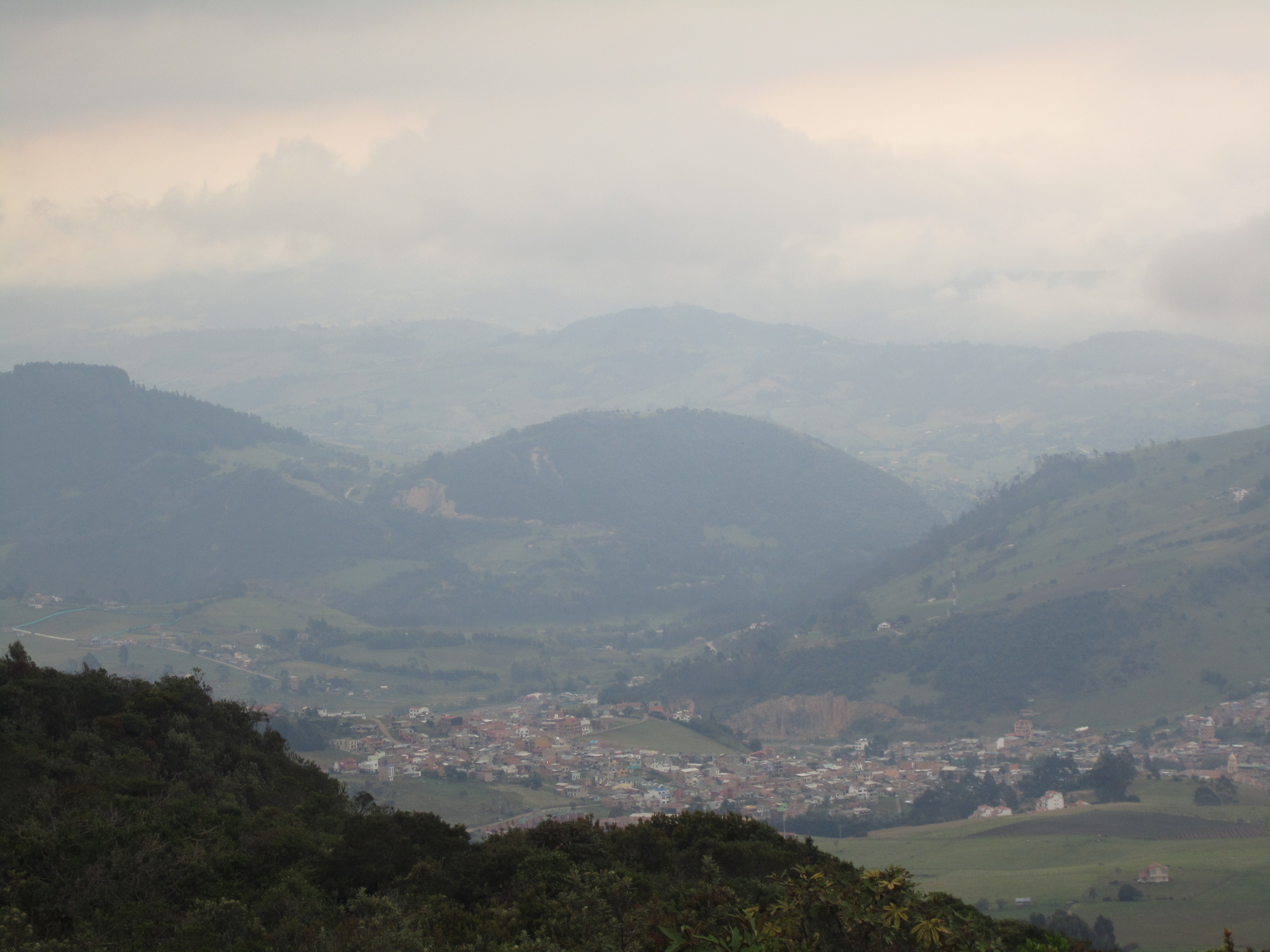
Karte von Teusaquillo
Interaktive Karte
Price Distribution
Geschäftsverteilung nach Preis für Teusaquillo
Aktuelle Erdbeben in der Nähe
Magnitude 3.0 und höher
| Datum▼ | Zeit↕ | Magnitude↕ | Distance↕ | Tiefe↕ | Standort↕ | Verknüpfung |
|---|---|---|---|---|---|---|
| 5/12/19 | 7:28 AM | 4.5 | 80.3 km | 10,000 m | 15km WNW of Guamal, Colombia | usgs.gov |
| 4/17/19 | 10:23 AM | 4.2 | 84.6 km | 158,210 m | 2km N of Villapinzon, Colombia | usgs.gov |
| 12/20/18 | 9:16 AM | 4.5 | 77.7 km | 10,000 m | 5km NNW of Medina, Colombia | usgs.gov |
| 7/24/18 | 8:15 PM | 4.3 | 61.2 km | 49,030 m | 11km W of Restrepo, Colombia | usgs.gov |
| 1/21/17 | 6:34 AM | 4 | 14.6 km | 31,990 m | 10km NW of Chipaque, Colombia | usgs.gov |
| 11/26/16 | 7:32 PM | 4.3 | 98.2 km | 124,030 m | 8km ESE of Maripi, Colombia | usgs.gov |
| 7/13/16 | 2:15 AM | 4.2 | 91.7 km | 148,760 m | 6km SE of Guacheta, Colombia | usgs.gov |
| 12/14/14 | 1:49 AM | 4.7 | 98 km | 152,310 m | 7km W of Ventaquemada, Colombia | usgs.gov |
| 6/12/14 | 6:30 AM | 4.2 | 49 km | 42,390 m | 8km W of Guayabetal, Colombia | usgs.gov |
| 5/30/12 | 12:57 AM | 4.2 | 81.7 km | 156,300 m | Colombia | usgs.gov |
Quelle: U.S. Geological Survey (USGS)


Über unsere Daten
Die Daten auf dieser Seite werden anhand verschiedener öffentlich zugänglicher Werkzeuge und Quellen geschätzt. Sie werden ohne Gewähr bereitgestellt und können Ungenauigkeiten enthalten. Nutzung auf eigene Gefahr.