Imías Facts
| Zeit vor Ort | |
| Zeitzone | Kubanische Sommerzeit |
| Geogr. Länge & Breite | 20.06985, -74.63100 |
| Postleitzahlen | 97500 |
Karte von Imías
Interaktive Karte
Aktuelle Erdbeben in der Nähe
Magnitude 3.0 und höher
| Datum▼ | Zeit↕ | Magnitude↕ | Distance↕ | Tiefe↕ | Standort↕ | Verknüpfung |
|---|---|---|---|---|---|---|
| 8/5/19 | 12:34 AM | 4.3 | 71.1 km | 10,000 m | 91km SSE of Baracoa, Cuba | usgs.gov |
| 5/19/18 | 5:11 PM | 3.3 | 71.5 km | 23,940 m | 36km S of Guantanamo, Cuba | usgs.gov |
| 3/10/18 | 8:07 PM | 3.8 | 87.5 km | 29,270 m | 33km SW of Guantanamo, Cuba | usgs.gov |
| 6/20/17 | 7:01 PM | 4.4 | 95 km | 13,120 m | 75km N of Jeremie, Haiti | usgs.gov |
| 5/10/17 | 3:36 PM | 3.2 | 67.2 km | 21,800 m | 35km S of Guantanamo, Cuba | usgs.gov |
| 4/25/17 | 2:42 PM | 4.7 | 99.8 km | 23,010 m | 56km SE of Santiago de Cuba, Cuba | usgs.gov |
| 9/30/16 | 11:06 PM | 5 | 33 km | 10,000 m | 52km SSE of Baracoa, Cuba | usgs.gov |
| 3/28/16 | 1:57 PM | 4.4 | 78.9 km | 10,000 m | 58km WNW of Mole Saint-Nicolas, Haiti | usgs.gov |
| 1/24/16 | 1:08 PM | 4.2 | 80.5 km | 20,350 m | 48km SSW of Guantanamo, Cuba | usgs.gov |
| 8/19/15 | 5:24 AM | 3.8 | 96.4 km | 24,200 m | 60km SE of Santiago de Cuba, Cuba | usgs.gov |
Quelle: U.S. Geological Survey (USGS)
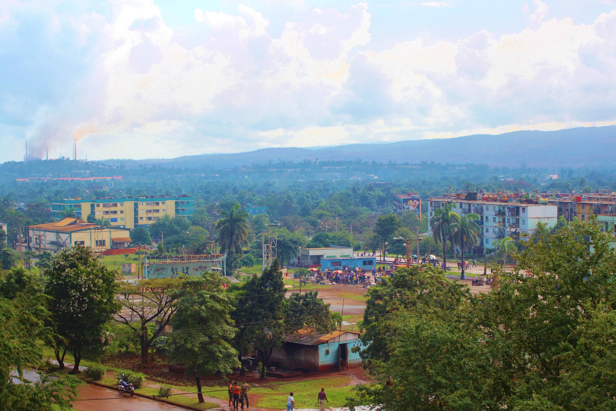
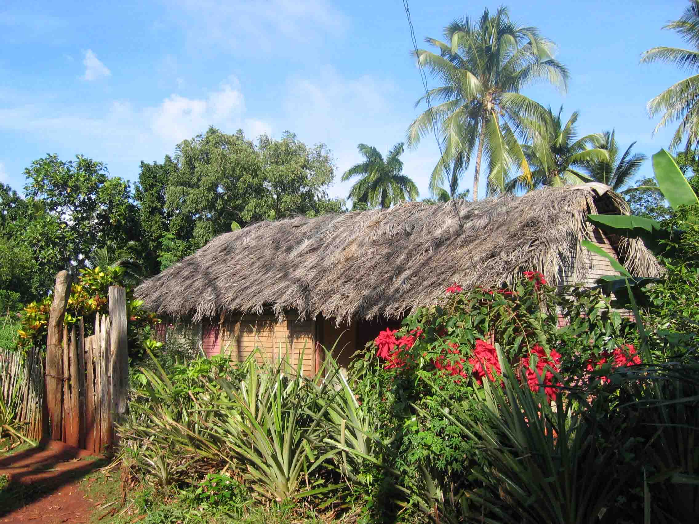
Imías
Imías ist eine Stadt und ein Municipio im Südosten Kubas und gehört zur Provinz Guantánamo.
Imías Wikipedia-Seite
Über unsere Daten
Die Daten auf dieser Seite werden anhand verschiedener öffentlich zugänglicher Werkzeuge und Quellen geschätzt. Sie werden ohne Gewähr bereitgestellt und können Ungenauigkeiten enthalten. Nutzung auf eigene Gefahr.