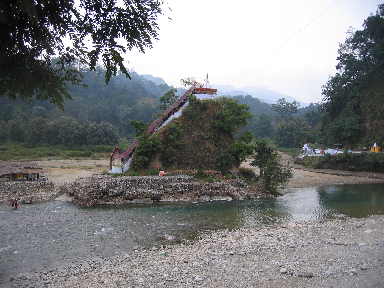
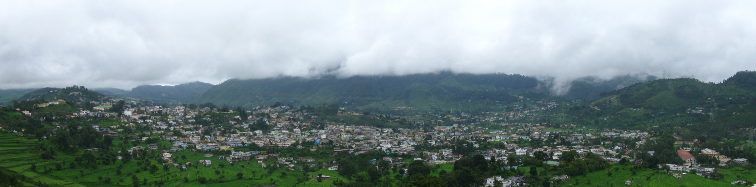
Gwāldam Facts
| Zeit vor Ort | |
| Zeitzone | Indische Normalzeit |
| Geogr. Länge & Breite | 30.00614, 79.56877 |
| Postleitzahlen | 246441 |
Karte von Gwāldam
Interaktive Karte
Aktuelle Erdbeben in der Nähe
Magnitude 3.0 und höher
| Datum▼ | Zeit↕ | Magnitude↕ | Distance↕ | Tiefe↕ | Standort↕ | Verknüpfung |
|---|---|---|---|---|---|---|
| 12/6/17 | 3:19 PM | 5.1 | 79.9 km | 10,000 m | 35km NW of Pipalkoti, India | usgs.gov |
| 2/6/17 | 5:03 PM | 5.1 | 81.7 km | 16,050 m | 36km NW of Pipalkoti, India | usgs.gov |
| 9/29/15 | 9:27 AM | 4.6 | 77.7 km | 35,000 m | 22km NW of Darchula, Nepal | usgs.gov |
| 8/5/15 | 7:15 PM | 4.1 | 84 km | 10,000 m | 60km NNW of Darchula, Nepal | usgs.gov |
| 7/18/15 | 11:48 PM | 4.4 | 63.2 km | 10,000 m | 24km NE of Rudraprayag, India | usgs.gov |
| 4/1/15 | 9:23 PM | 4.9 | 38.8 km | 10,000 m | 10km SSE of Pipalkoti, India | usgs.gov |
| 12/6/14 | 4:27 AM | 4.1 | 85.6 km | 10,000 m | 45km ENE of Joshimath, India | usgs.gov |
| 8/24/14 | 8:29 AM | 4.4 | 37.8 km | 10,000 m | 27km NE of Bageshwar, India | usgs.gov |
| 7/6/14 | 2:48 PM | 4.1 | 82.3 km | 43,730 m | 55km NNW of Dharchula, India | usgs.gov |
| 7/3/14 | 11:35 AM | 4 | 78.8 km | 35,000 m | 47km NNW of Dharchula, India | usgs.gov |
Quelle: U.S. Geological Survey (USGS)

Über unsere Daten
Die Daten auf dieser Seite werden anhand verschiedener öffentlich zugänglicher Werkzeuge und Quellen geschätzt. Sie werden ohne Gewähr bereitgestellt und können Ungenauigkeiten enthalten. Nutzung auf eigene Gefahr.