Kategorien in Māhīm
Branchen
Unternehmensverteilung nach Branche in Māhīm
| Branchenbeschreibung | Anzahl der Betriebe | Durchschnittliche Google-Bewertung |
|---|---|---|
| Erziehung und Unterricht | 5 | 5 |
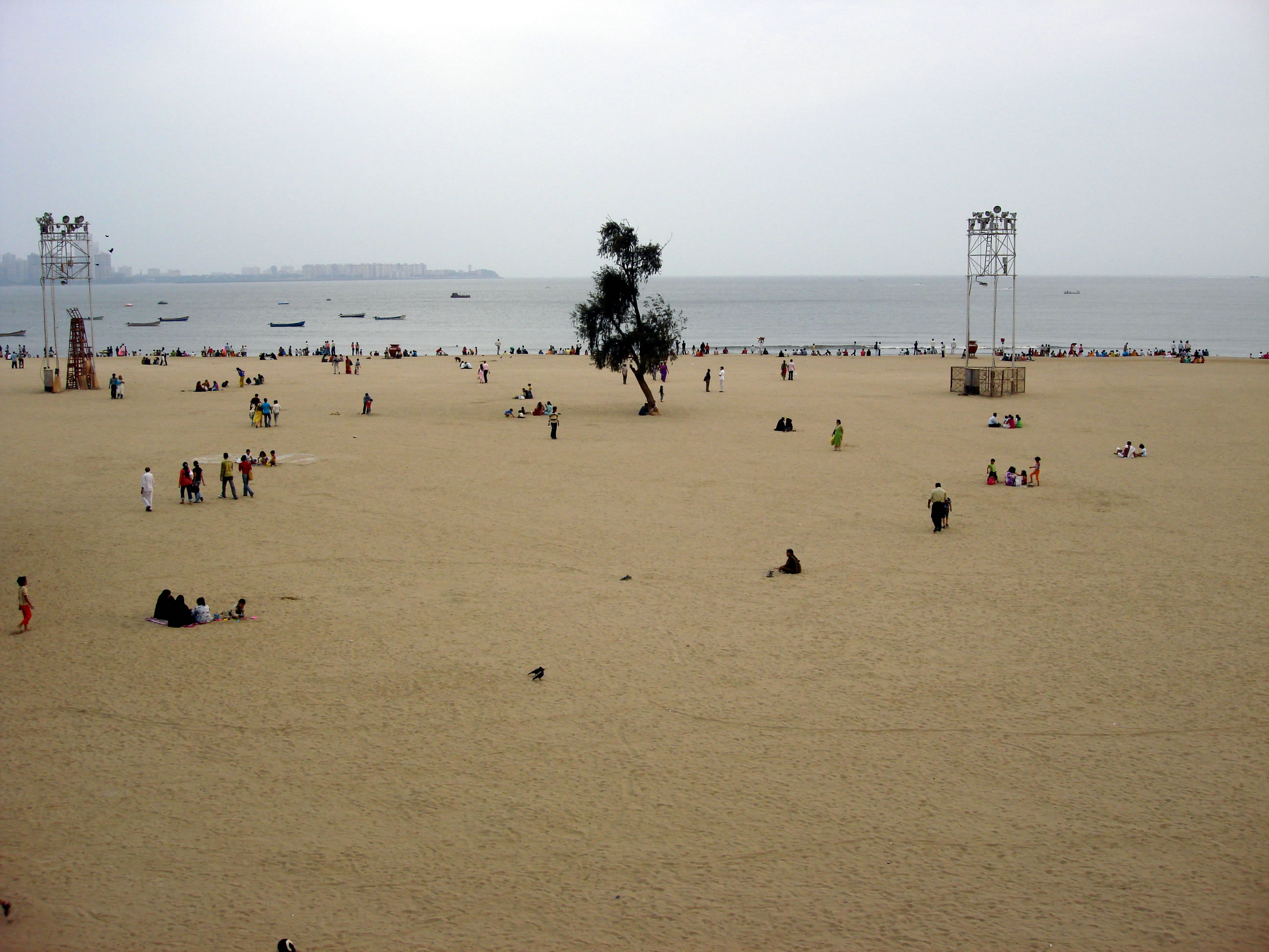
Māhīm Facts
| Gebiet | 2.8 km² |
| Bevölkerung | 130.853 |
| Männliche Bevölkerung | 70.366 (53.8%) |
| Weibliche Bevölkerung | 60.487 (46.2%) |
| Population change (1975 to 2020) | +42.1% |
| Population change (2000 to 2020) | +12.3% |
| Mittleres Alter | 28.6 years (Male: 28.4, Female: 28.9) |
| Stadtviertel | Mahim - Dadar - Prabhadevi, Thakur Wadi, Tardeo, HOC Colony, Roth Khurd |
| Zeit vor Ort | |
| Zeitzone | Indische Normalzeit |
| Geogr. Länge & Breite | 19.03333, 72.85000 |
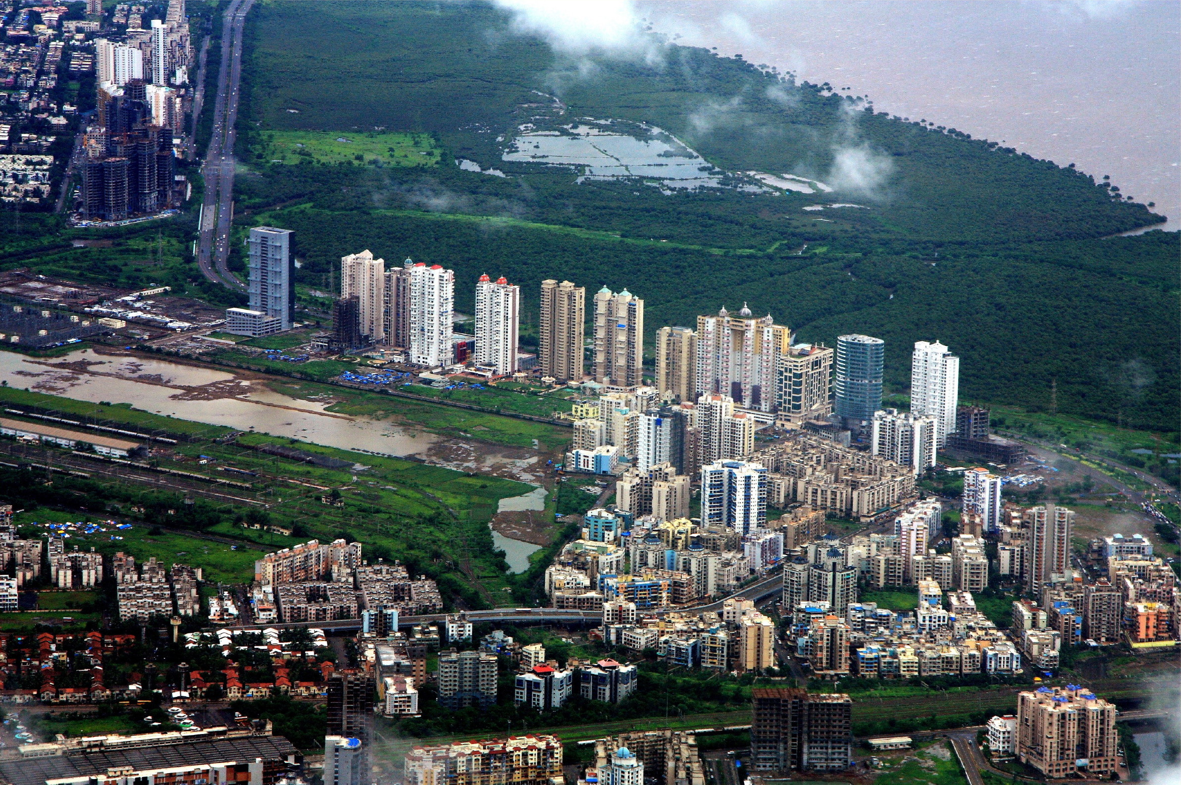
Karte von Māhīm
Interaktive Karte
Bevölkerung von Māhīm
Jahre 1975 bis 2020
| Data | 1975 | 1990 | 2000 | 2015 | 2020 |
|---|---|---|---|---|---|
| Bevölkerung | 92.087 | 108.210 | 116.534 | 125.336 | 130.853 |
| Bevölkerungsdichte | 32.742 / km² | 38.474,7 / km² | 41.434,3 / km² | 44.563,9 / km² | 46.525,5 / km² |
Bevölkerungsänderung in Māhīm von 2000 bis 2015
Anstieg um 7.6 % von 2000 bis 2015
| Standort | Änderung seit 1975 | Änderung seit 1990 | Änderung seit 2000 |
|---|---|---|---|
| Māhīm | +36.1% | +15.8% | +7.6% |
| Maharashtra | +98% | +45.2% | +21.9% |
| Indien | +111.1% | +50.6% | +24.5% |
Medianalter von Māhīm
Medianalter: 28.6 Jahre
| Standort | Mittleres Alter | Durchschnittsalter (weiblich) | Durchschnittsalter (männlich) |
|---|---|---|---|
| Māhīm | 28.6 yrs | 28.9 yrs | 28.4 yrs |
| Maharashtra | 27.2 yrs | 27.8 yrs | 26.6 yrs |
| Indien | 24.9 yrs | 25.4 yrs | 24.5 yrs |
Bevölkerungsdichte von Māhīm
Bevölkerungsdichte: 46.526 / km²
| Standort | Bevölkerung | Gebiet | Dichte |
|---|---|---|---|
| Māhīm | 130.853 | 2,813 km² | 46.526 / km² |
| Maharashtra | 120,6 million | 307.683,7 km² | 392 / km² |
| Indien | 1.307 million | 3.083.563,4 km² | 424 / km² |
Historische und prognostizierte Bevölkerung von Māhīm
Geschätzte Bevölkerung von 1790 bis 2100
- JRC (Gemeinsame Forschungsstelle der Europäischen Kommission) arbeitet an GHS built-up grid
- CIESIN (Center for International Earth Science Information Network)
- [Verknüpfung] Klein Goldewijk, K., Beusen, A., Doelman, J., and Stehfest, E.: Anthropogenic land use estimates for the Holocene – HYDE 3.2, Earth Syst. Sci. Data, 9, 927–953, https://doi.org/10.5194/essd-9-927-2017, 2017.
Postleitzahlen
Prozentsatz der Unternehmen nach Postleitzahl in Māhīm
Price Distribution
Geschäftsverteilung nach Preis für Māhīm
Human Development Index (HDI)
Statistischer zusammengesetzter Index der Lebenserwartung, der Bildung und des Pro-Kopf-Einkommens.
CO2-Emissionen von Māhīm
Kohlendioxid (CO2) -Emissionen pro Kopf in Tonnen pro Jahr
| Standort | CO2-Emissionen | CO2-Emissionen pro Kopf | Intensität der CO2-Emissionen |
|---|---|---|---|
| Māhīm | 211,796 tn | 1.62 tn | 75,305.3 tons/km² |
| Maharashtra | 206,036,744 tn | 1.71 tn | 669.6 tons/km² |
| Indien | 1,928,568,344 tn | 1.48 tn | 625.4 tons/km² |
| CO2-Emissionen 2013 (Tonnen/Jahr) | 211,796 tn |
| CO2-Emissionen 2013 (Tonnen/Jahr) pro Kopf | 1.62 tn |
| CO2-Emissionsintensität 2013 (Tonnen/km²/Jahr) | 75,305.3 tons/km² |
Naturgefahrenrisiko
Relative risk out of 10
| Gefahr | Risk Level |
|---|---|
| Drought | Medium (7) |
| Flood | Medium (4) |
| Earthquake | Low (2) |
* Risk, particularly concerning flood or landslide, may not be for the entire area.
- Dilley, M., R.S. Chen, U. Deichmann, A.L. Lerner-Lam, M. Arnold, J. Agwe, P. Buys, O. Kjekstad, B. Lyon, and G. Yetman. 2005. Natural Disaster Hotspots: A Global Risk Analysis. Washington, D.C.: World Bank. https://doi.org/10.1596/0-8213-5930-4.
- Center for Hazards and Risk Research - CHRR - Columbia University, Center for International Earth Science Information Network - CIESIN - Columbia University, and International Research Institute for Climate and Society - IRI - Columbia University. 2005. Global Drought Hazard Frequency and Distribution. Palisades, NY: NASA Socioeconomic Data and Applications Center (SEDAC). https://doi.org/10.7927/H4VX0DFT.
- Center for Hazards and Risk Research - CHRR - Columbia University, Center for International Earth Science Information Network - CIESIN - Columbia University. 2005. Global Flood Hazard Frequency and Distribution. Palisades, NY: NASA Socioeconomic Data and Applications Center (SEDAC). https://doi.org/10.7927/H4668B3D.
- Center for Hazards and Risk Research - CHRR - Columbia University, Center for International Earth Science Information Network - CIESIN - Columbia University. 2005. Global Earthquake Hazard Distribution - Peak Ground Acceleration. Palisades, NY: NASA Socioeconomic Data and Applications Center (SEDAC). https://doi.org/10.7927/H4BZ63ZS.
Aktuelle Erdbeben in der Nähe
Magnitude 3.0 und höher
| Datum▼ | Zeit↕ | Magnitude↕ | Distance↕ | Tiefe↕ | Standort↕ | Verknüpfung |
|---|---|---|---|---|---|---|
| 7/24/19 | 7:33 PM | 4 | 77 km | 15,150 m | 42km WSW of Shirgaon, India | usgs.gov |

Über unsere Daten
Die Daten auf dieser Seite werden anhand verschiedener öffentlich zugänglicher Werkzeuge und Quellen geschätzt. Sie werden ohne Gewähr bereitgestellt und können Ungenauigkeiten enthalten. Nutzung auf eigene Gefahr.