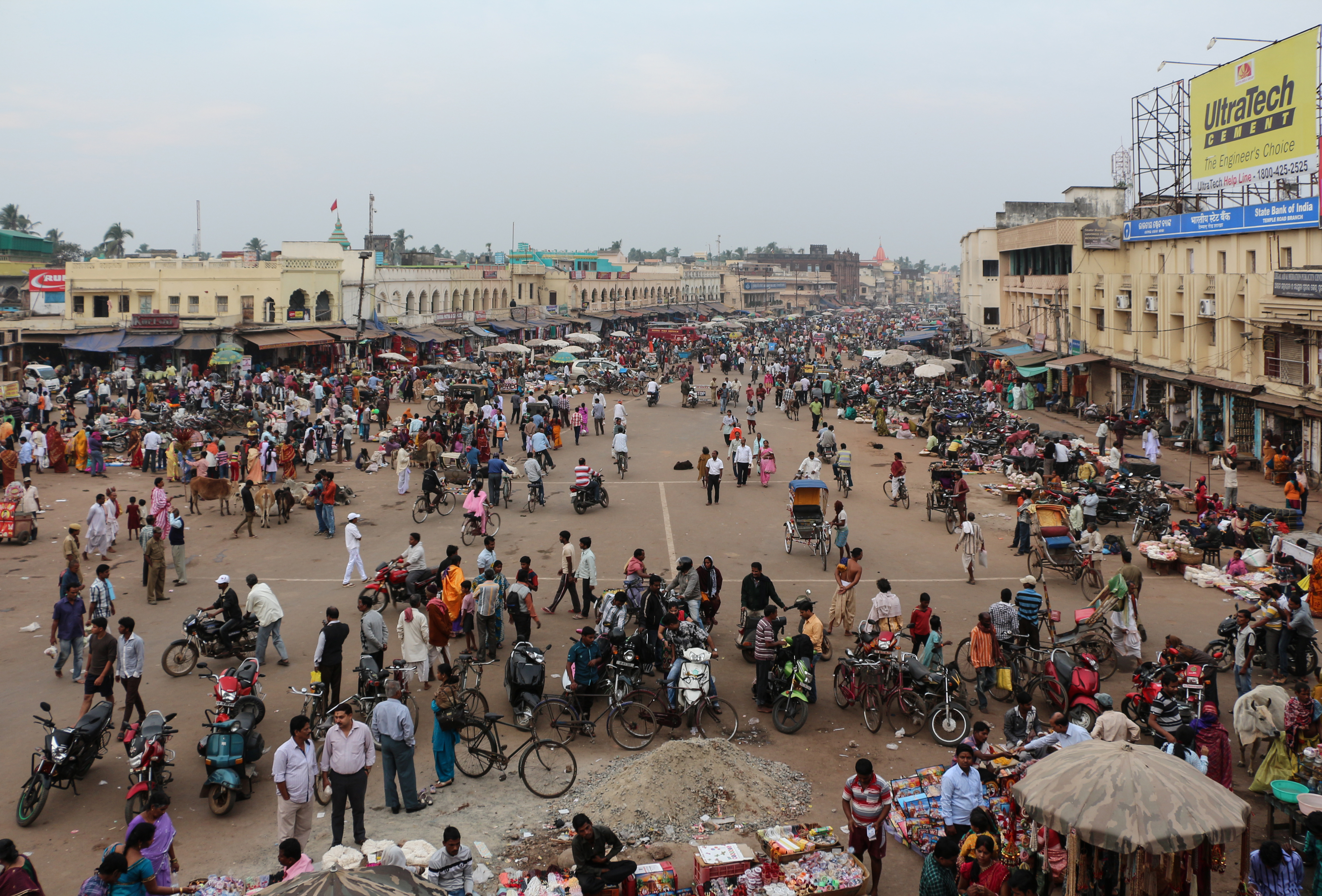
Kategorien in Pipili
Branchen
Unternehmensverteilung nach Branche in Pipili
| Branchenbeschreibung | Anzahl der Betriebe |
|---|---|
| Shopping Sonstige | 139 |
| Einkaufen | 53 |
| Restaurants | 49 |
| Bekleidungsladen | 26 |
| Elektronikläden | 25 |
| Fastfood Restaurants | 25 |
| Lebensmittelläden und Supermärkte | 24 |
| Apotheken und Drogerien | 23 |
| Autoreparatur | 21 |
| Baumarkt | 19 |
| Hinduistischer Temple | 18 |
| Erziehung und Unterricht | 18 |
| Handyläden | 18 |
Pipili Facts
| Gebiet | 186.1 km² |
| Bevölkerung | 191.146 |
| Männliche Bevölkerung | 97.605 (51.1%) |
| Weibliche Bevölkerung | 93.541 (48.9%) |
| Population change (1975 to 2020) | +101.1% |
| Population change (2000 to 2020) | +25.1% |
| Mittleres Alter | 28.6 years (Male: 28.7, Female: 28.6) |
| Stadtviertel | Pubasasan, Bypass VIP Colony, AruhaRoad, jaispatna, Vijaya Vihar, Lingipur |
| Zeit vor Ort | |
| Zeitzone | Indische Normalzeit |
| Geogr. Länge & Breite | 20.11357, 85.83147 |
| Postleitzahlen | 752104 |
Karte von Pipili
Interaktive Karte
Bevölkerung von Pipili
Jahre 1975 bis 2020
| Data | 1975 | 1990 | 2000 | 2015 | 2020 |
|---|---|---|---|---|---|
| Bevölkerung | 95.062 | 127.934 | 152.802 | 179.705 | 191.146 |
| Bevölkerungsdichte | 510,7 / km² | 687,4 / km² | 821 / km² | 965,5 / km² | 1.027 / km² |
Bevölkerungsänderung in Pipili von 2000 bis 2015
Anstieg um 17.6 % von 2000 bis 2015
| Standort | Änderung seit 1975 | Änderung seit 1990 | Änderung seit 2000 |
|---|---|---|---|
| Pipili | +89% | +40.5% | +17.6% |
| Odisha | +90.7% | +40% | +18.6% |
| Indien | +111.1% | +50.6% | +24.5% |
Medianalter von Pipili
Medianalter: 28.6 Jahre
| Standort | Mittleres Alter | Durchschnittsalter (weiblich) | Durchschnittsalter (männlich) |
|---|---|---|---|
| Pipili | 28.6 yrs | 28.6 yrs | 28.7 yrs |
| Odisha | 26.6 yrs | 26.6 yrs | 26.6 yrs |
| Indien | 24.9 yrs | 25.4 yrs | 24.5 yrs |
Bevölkerungsdichte von Pipili
Bevölkerungsdichte: 1.027 / km²
| Standort | Bevölkerung | Gebiet | Dichte |
|---|---|---|---|
| Pipili | 191.146 | 186,1 km² | 1.027 / km² |
| Odisha | 44,8 million | 155.874,5 km² | 287 / km² |
| Indien | 1.307 million | 3.083.563,4 km² | 424 / km² |
Historische und prognostizierte Bevölkerung von Pipili
Geschätzte Bevölkerung von 0 bis 2100
- JRC (Gemeinsame Forschungsstelle der Europäischen Kommission) arbeitet an GHS built-up grid
- CIESIN (Center for International Earth Science Information Network)
- [Verknüpfung] Klein Goldewijk, K., Beusen, A., Doelman, J., and Stehfest, E.: Anthropogenic land use estimates for the Holocene – HYDE 3.2, Earth Syst. Sci. Data, 9, 927–953, https://doi.org/10.5194/essd-9-927-2017, 2017.
Vorwahlen
Prozentuale Vorwahlen, die von Unternehmen in Pipili verwendet werden
Human Development Index (HDI)
Statistischer zusammengesetzter Index der Lebenserwartung, der Bildung und des Pro-Kopf-Einkommens.
CO2-Emissionen von Pipili
Kohlendioxid (CO2) -Emissionen pro Kopf in Tonnen pro Jahr
| Standort | CO2-Emissionen | CO2-Emissionen pro Kopf | Intensität der CO2-Emissionen |
|---|---|---|---|
| Pipili | 275,380 tn | 1.44 tn | 1,479.5 tons/km² |
| Odisha | 59,545,301 tn | 1.33 tn | 382 tons/km² |
| Indien | 1,928,568,344 tn | 1.48 tn | 625.4 tons/km² |
| CO2-Emissionen 2013 (Tonnen/Jahr) | 275,380 tn |
| CO2-Emissionen 2013 (Tonnen/Jahr) pro Kopf | 1.44 tn |
| CO2-Emissionsintensität 2013 (Tonnen/km²/Jahr) | 1,479.5 tons/km² |
Naturgefahrenrisiko
Relatives Risiko von 10
| Gefahr | Risikostufe |
|---|---|
| Dürre | Mittel (5.7) |
| Flut | Mittel (4) |
| Zyklon | Mittel (5) |
* Das Risiko, insbesondere in Bezug auf Überschwemmungen oder Erdrutsche, gilt möglicherweise nicht für das gesamte Gebiet.
- Dilley, M., R.S. Chen, U. Deichmann, A.L. Lerner-Lam, M. Arnold, J. Agwe, P. Buys, O. Kjekstad, B. Lyon, and G. Yetman. 2005. Natural Disaster Hotspots: A Global Risk Analysis. Washington, D.C.: World Bank. https://doi.org/10.1596/0-8213-5930-4.
- Center for Hazards and Risk Research - CHRR - Columbia University, Center for International Earth Science Information Network - CIESIN - Columbia University, International Bank for Reconstruction and Development - The World Bank, and United Nations Environment Programme Global Resource Information Database Geneva - UNEP/GRID-Geneva. 2005. Global Cyclone Hazard Frequency and Distribution. Palisades, NY: NASA Socioeconomic Data and Applications Center (SEDAC). https://doi.org/10.7927/H4CZ353K.
- Center for Hazards and Risk Research - CHRR - Columbia University, Center for International Earth Science Information Network - CIESIN - Columbia University, and International Research Institute for Climate and Society - IRI - Columbia University. 2005. Global Drought Hazard Frequency and Distribution. Palisades, NY: NASA Socioeconomic Data and Applications Center (SEDAC). https://doi.org/10.7927/H4VX0DFT.
- Center for Hazards and Risk Research - CHRR - Columbia University, Center for International Earth Science Information Network - CIESIN - Columbia University. 2005. Global Flood Hazard Frequency and Distribution. Palisades, NY: NASA Socioeconomic Data and Applications Center (SEDAC). https://doi.org/10.7927/H4668B3D.


Über unsere Daten
Die Daten auf dieser Seite werden anhand verschiedener öffentlich zugänglicher Werkzeuge und Quellen geschätzt. Sie werden ohne Gewähr bereitgestellt und können Ungenauigkeiten enthalten. Nutzung auf eigene Gefahr.