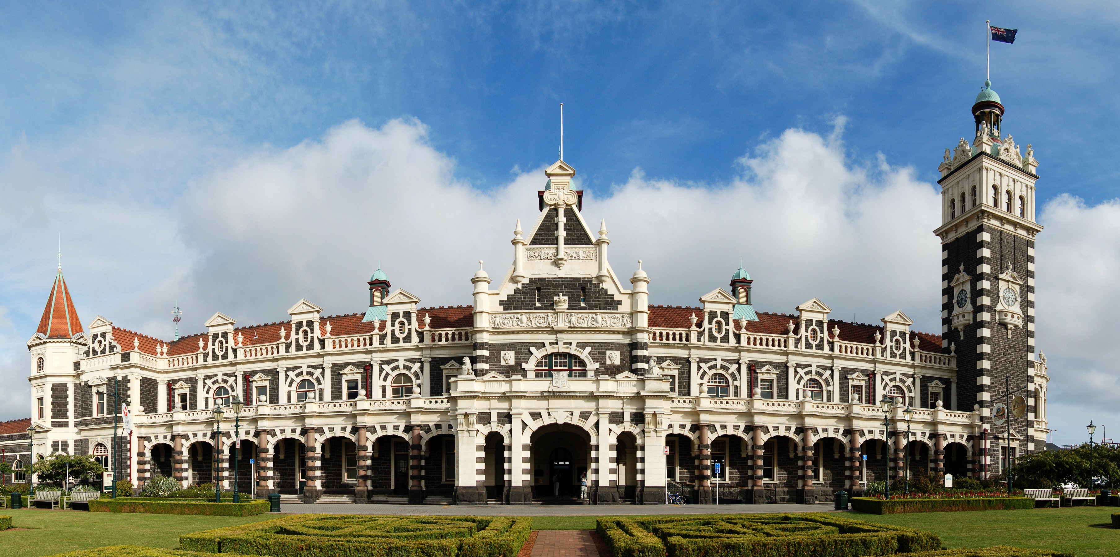
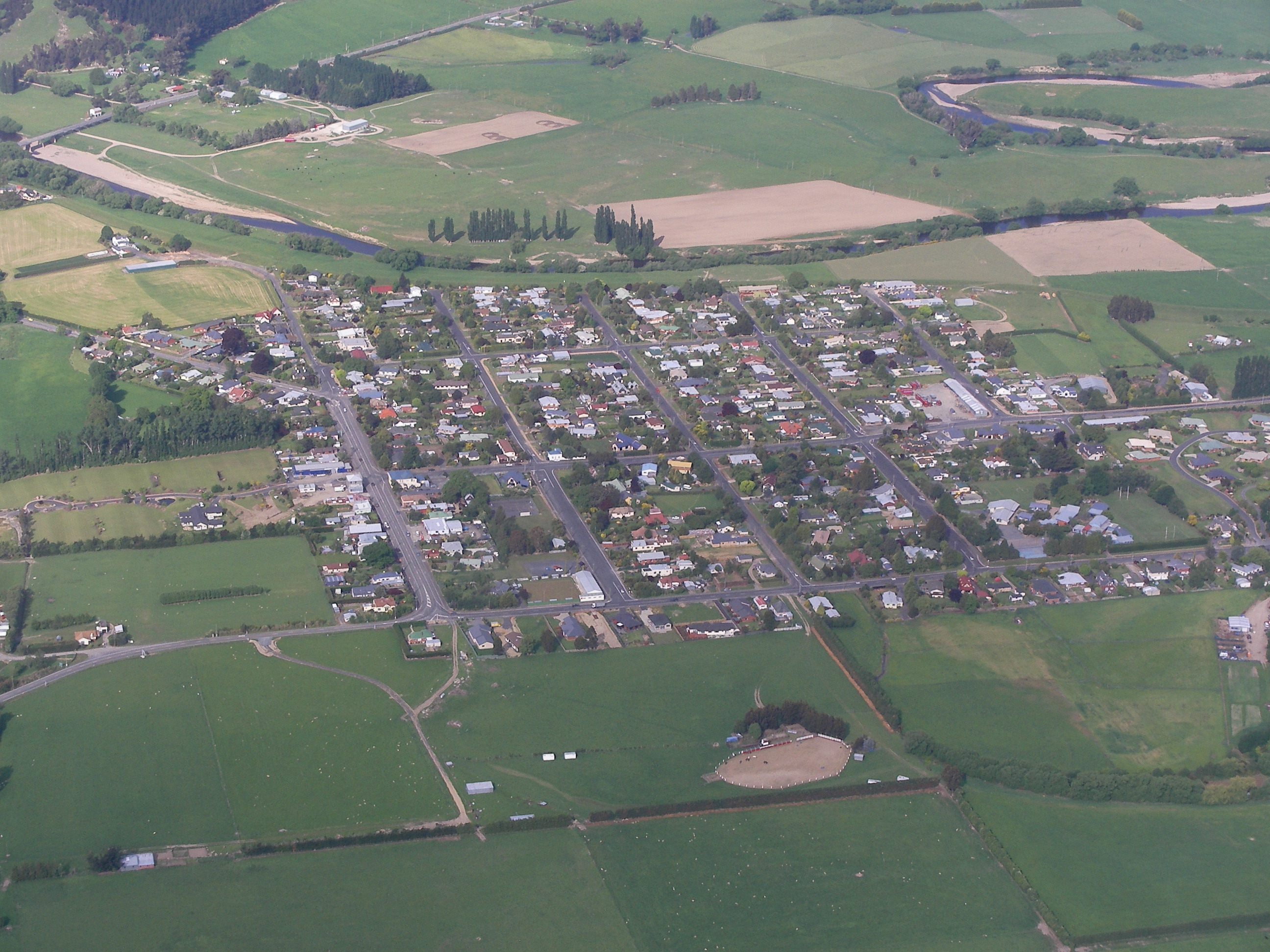
Karitane Facts
| Gebiet | 0.4 km² |
| Bevölkerung | 67 |
| Männliche Bevölkerung | 33 (49.4%) |
| Weibliche Bevölkerung | 34 (50.6%) |
| Population change (1975 to 2020) | -51.8% |
| Population change (2000 to 2020) | -57.6% |
| Mittleres Alter | 36.6 years (Male: 35.4, Female: 37.7) |
| BIP pro Kopf (KKP) | $53.302 (2022) |
| Zeit vor Ort | |
| Zeitzone | Neuseeland-Normalzeit |
| Geogr. Länge & Breite | -45.64021, 170.65772 |
Karte von Karitane
Interaktive Karte
Bevölkerung von Karitane
Jahre 1975 bis 2030
| Data | 1975 | 1990 | 2000 | 2015 | 2020 | 2025* | 2030* |
|---|---|---|---|---|---|---|---|
| Bevölkerung | 139 | 146 | 158 | 172 | 67 | 70 | 71 |
| Bevölkerungsdichte | 317,7 / km² | 333,7 / km² | 361,1 / km² | 393,1 / km² | 153,1 / km² | 160 / km² | 162,3 / km² |
Bevölkerungsänderung in Karitane von 2000 bis 2020
Rückgang um 57.6 % von 2000 bis 2020
| Standort | Änderung seit 1975 | Änderung seit 1990 | Änderung seit 2000 |
|---|---|---|---|
| Karitane | -51.8% | -54.1% | -57.6% |
| Otago | — | — | — |
| Neuseeland | — | — | — |
Medianalter von Karitane
Medianalter: 36.6 Jahre
| Standort | Mittleres Alter | Durchschnittsalter (weiblich) | Durchschnittsalter (männlich) |
|---|---|---|---|
| Karitane | 36.6 yrs | 37.7 yrs | 35.4 yrs |
| Otago | 38.8 yrs | 39.5 yrs | 38 yrs |
| Neuseeland | 37.9 yrs | 38.9 yrs | 36.9 yrs |
Bevölkerungsdichte von Karitane
Bevölkerungsdichte: 153 / km²
| Standort | Bevölkerung | Gebiet | Dichte |
|---|---|---|---|
| Karitane | 67 | 0,438 km² | 153 / km² |
| Otago | 215.607 | 38.478,4 km² | 5,6 / km² |
| Neuseeland | 4,4 million | 270.103,3 km² | 16,3 / km² |
Historische und prognostizierte Bevölkerung von Karitane
Geschätzte Bevölkerung von 1200 bis 2100
- JRC (Gemeinsame Forschungsstelle der Europäischen Kommission) arbeitet an GHS built-up grid
- CIESIN (Center for International Earth Science Information Network)
- [Verknüpfung] Klein Goldewijk, K., Beusen, A., Doelman, J., and Stehfest, E.: Anthropogenic land use estimates for the Holocene – HYDE 3.2, Earth Syst. Sci. Data, 9, 927–953, https://doi.org/10.5194/essd-9-927-2017, 2017.
Vorwahlen
Prozentuale Vorwahlen, die von Unternehmen in Karitane verwendet werden
Human Development Index (HDI)
Statistischer zusammengesetzter Index der Lebenserwartung, der Bildung und des Pro-Kopf-Einkommens.
Bruttoinlandsprodukt (BIP) von Karitane
BIP pro Kopf, KKP (konstante internationale $ von 2017)
| Data | 1990 | 1995 | 2000 | 2005 | 2010 | 2015 | 2020 | 2022 |
|---|---|---|---|---|---|---|---|---|
| BIP pro Kopf | $29.164 | $30.594 | $34.599 | $41.275 | $42.034 | $47.288 | $50.134 | $53.302 |
| BIP insgesamt | $139.234 | $150.364 | $171.732 | $198.667 | $201.211 | $227.497 | $228.694 | $240.492 |
CO2-Emissionen von Karitane
Kohlendioxid (CO2) -Emissionen pro Kopf in Tonnen pro Jahr
| Standort | CO2-Emissionen | CO2-Emissionen pro Kopf | Intensität der CO2-Emissionen |
|---|---|---|---|
| Karitane | 598 tn | 8.93 tn | 1,367 tons/km² |
| Otago | 1,696,568 tn | 7.87 tn | 44.1 tons/km² |
| Neuseeland | 37,929,206 tn | 8.61 tn | 140.4 tons/km² |
| CO2-Emissionen 2013 (Tonnen/Jahr) | 598 tn |
| CO2-Emissionen 2013 (Tonnen/Jahr) pro Kopf | 8.93 tn |
| CO2-Emissionsintensität 2013 (Tonnen/km²/Jahr) | 1,367 tons/km² |
Naturgefahrenrisiko
Relatives Risiko von 10
| Gefahr | Risikostufe |
|---|---|
| Erdbeben | Mittel (6) |
* Das Risiko, insbesondere in Bezug auf Überschwemmungen oder Erdrutsche, gilt möglicherweise nicht für das gesamte Gebiet.
- Dilley, M., R.S. Chen, U. Deichmann, A.L. Lerner-Lam, M. Arnold, J. Agwe, P. Buys, O. Kjekstad, B. Lyon, and G. Yetman. 2005. Natural Disaster Hotspots: A Global Risk Analysis. Washington, D.C.: World Bank. https://doi.org/10.1596/0-8213-5930-4.
- Center for Hazards and Risk Research - CHRR - Columbia University, Center for International Earth Science Information Network - CIESIN - Columbia University. 2005. Global Earthquake Hazard Distribution - Peak Ground Acceleration. Palisades, NY: NASA Socioeconomic Data and Applications Center (SEDAC). https://doi.org/10.7927/H4BZ63ZS.
Aktuelle Erdbeben in der Nähe
Magnitude 3.0 und höher
| Datum▼ | Zeit↕ | Magnitude↕ | Distance↕ | Tiefe↕ | Standort↕ | Verknüpfung |
|---|---|---|---|---|---|---|
| 6/1/15 | 11:18 AM | 4.3 | 42.7 km | 8,990 m | 33km WNW of Dunedin, New Zealand | usgs.gov |
| 10/16/14 | 5:44 AM | 4.1 | 42.1 km | 4,000 m | 29km WNW of Dunedin, New Zealand | usgs.gov |
| 12/17/07 | 9:05 AM | 4.2 | 59.6 km | 12,000 m | off the east coast of the South Island of New Zealand | usgs.gov |
| 2/24/06 | 11:03 PM | 3.7 | 30.1 km | 12,000 m | off the east coast of the South Island of New Zealand | usgs.gov |
| 12/24/04 | 8:44 AM | 3.9 | 65.3 km | 12,000 m | South Island of New Zealand | usgs.gov |
| 2/11/04 | 12:31 AM | 4.5 | 61.2 km | 12,000 m | South Island of New Zealand | usgs.gov |
| 6/30/03 | 4:23 PM | 3.8 | 83.1 km | 21,000 m | South Island of New Zealand | usgs.gov |
| 10/21/00 | 1:57 PM | 4 | 68.6 km | 12,000 m | off the east coast of the South Island of New Zealand | usgs.gov |
| 2/8/98 | 6:26 PM | 4.8 | 75.6 km | 10,000 m | South Island of New Zealand | usgs.gov |
| 5/3/94 | 7:29 AM | 3.8 | 52.8 km | 33,000 m | off the east coast of the South Island of New Zealand | usgs.gov |

Über unsere Daten
Die Daten auf dieser Seite werden anhand verschiedener öffentlich zugänglicher Werkzeuge und Quellen geschätzt. Sie werden ohne Gewähr bereitgestellt und können Ungenauigkeiten enthalten. Nutzung auf eigene Gefahr.