Kategorien in Buug
Branchen
Unternehmensverteilung nach Branche in Buug
Buug Facts
| Gebiet | 148.9 km² |
| Bevölkerung | 45.638 |
| Männliche Bevölkerung | 23.492 (51.5%) |
| Weibliche Bevölkerung | 22.146 (48.5%) |
| Population change (1975 to 2020) | +444.9% |
| Population change (2000 to 2020) | +45.1% |
| Mittleres Alter | 21.5 years (Male: 21.5, Female: 21.4) |
| Stadtviertel | Barangay Manlin, Poblacion Buug |
| Zeit vor Ort | |
| Zeitzone | Philippinische Normalzeit |
| Geogr. Länge & Breite | 7.72940, 123.05980 |
| Postleitzahlen | 7009 |
Karte von Buug
Interaktive Karte
Bevölkerung von Buug
Jahre 1975 bis 2020
| Data | 1975 | 1990 | 2000 | 2015 | 2020 |
|---|---|---|---|---|---|
| Bevölkerung | 8.376 | 21.786 | 31.456 | 41.972 | 45.638 |
| Bevölkerungsdichte | 56,2 / km² | 146,3 / km² | 211,2 / km² | 281,8 / km² | 306,4 / km² |
Bevölkerungsänderung in Buug von 2000 bis 2015
Anstieg um 33.4 % von 2000 bis 2015
| Standort | Änderung seit 1975 | Änderung seit 1990 | Änderung seit 2000 |
|---|---|---|---|
| Buug | +401.1% | +92.7% | +33.4% |
| Philippinen | +146.5% | +63.3% | +29.5% |
Medianalter von Buug
Medianalter: 21.5 Jahre
| Standort | Mittleres Alter | Durchschnittsalter (weiblich) | Durchschnittsalter (männlich) |
|---|---|---|---|
| Buug | 21.5 yrs | 21.4 yrs | 21.5 yrs |
| Philippinen | 23.2 yrs | 23.6 yrs | 22.8 yrs |
Bevölkerungsdichte von Buug
Bevölkerungsdichte: 306 / km²
| Standort | Bevölkerung | Gebiet | Dichte |
|---|---|---|---|
| Buug | 45.638 | 148,9 km² | 306 / km² |
| Philippinen | 96,6 million | 296.939,4 km² | 325 / km² |
Historische und prognostizierte Bevölkerung von Buug
Geschätzte Bevölkerung von 1860 bis 2100
- JRC (Gemeinsame Forschungsstelle der Europäischen Kommission) arbeitet an GHS built-up grid
- CIESIN (Center for International Earth Science Information Network)
- [Verknüpfung] Klein Goldewijk, K., Beusen, A., Doelman, J., and Stehfest, E.: Anthropogenic land use estimates for the Holocene – HYDE 3.2, Earth Syst. Sci. Data, 9, 927–953, https://doi.org/10.5194/essd-9-927-2017, 2017.
Vorwahlen
Prozentuale Vorwahlen, die von Unternehmen in Buug verwendet werden
Price Distribution
Geschäftsverteilung nach Preis für Buug
Human Development Index (HDI)
Statistischer zusammengesetzter Index der Lebenserwartung, der Bildung und des Pro-Kopf-Einkommens.
CO2-Emissionen von Buug
Kohlendioxid (CO2) -Emissionen pro Kopf in Tonnen pro Jahr
| Standort | CO2-Emissionen | CO2-Emissionen pro Kopf | Intensität der CO2-Emissionen |
|---|---|---|---|
| Buug | 47,418 tn | 1.04 tn | 318.4 tons/km² |
| Philippinen | 104,920,564 tn | 1.09 tn | 353.3 tons/km² |
| CO2-Emissionen 2013 (Tonnen/Jahr) | 47,418 tn |
| CO2-Emissionen 2013 (Tonnen/Jahr) pro Kopf | 1.04 tn |
| CO2-Emissionsintensität 2013 (Tonnen/km²/Jahr) | 318.4 tons/km² |
Naturgefahrenrisiko
Relatives Risiko von 10
| Gefahr | Risikostufe |
|---|---|
| Dürre | Mittel (5) |
| Flut | Mittel (7) |
| Erdbeben | Hoch (7.9) |
| Erdrutsch | Hoch (8) |
* Das Risiko, insbesondere in Bezug auf Überschwemmungen oder Erdrutsche, gilt möglicherweise nicht für das gesamte Gebiet.
- Dilley, M., R.S. Chen, U. Deichmann, A.L. Lerner-Lam, M. Arnold, J. Agwe, P. Buys, O. Kjekstad, B. Lyon, and G. Yetman. 2005. Natural Disaster Hotspots: A Global Risk Analysis. Washington, D.C.: World Bank. https://doi.org/10.1596/0-8213-5930-4.
- Center for Hazards and Risk Research - CHRR - Columbia University, Center for International Earth Science Information Network - CIESIN - Columbia University, and Norwegian Geotechnical Institute - NGI. 2005. Global Landslide Hazard Distribution. Palisades, NY: NASA Socioeconomic Data and Applications Center (SEDAC). https://doi.org/10.7927/H4P848VZ.
- Center for Hazards and Risk Research - CHRR - Columbia University, Center for International Earth Science Information Network - CIESIN - Columbia University, and International Research Institute for Climate and Society - IRI - Columbia University. 2005. Global Drought Hazard Frequency and Distribution. Palisades, NY: NASA Socioeconomic Data and Applications Center (SEDAC). https://doi.org/10.7927/H4VX0DFT.
- Center for Hazards and Risk Research - CHRR - Columbia University, Center for International Earth Science Information Network - CIESIN - Columbia University. 2005. Global Flood Hazard Frequency and Distribution. Palisades, NY: NASA Socioeconomic Data and Applications Center (SEDAC). https://doi.org/10.7927/H4668B3D.
- Center for Hazards and Risk Research - CHRR - Columbia University, Center for International Earth Science Information Network - CIESIN - Columbia University. 2005. Global Earthquake Hazard Distribution - Peak Ground Acceleration. Palisades, NY: NASA Socioeconomic Data and Applications Center (SEDAC). https://doi.org/10.7927/H4BZ63ZS.
Aktuelle Erdbeben in der Nähe
Magnitude 3.0 und höher
| Datum▼ | Zeit↕ | Magnitude↕ | Distance↕ | Tiefe↕ | Standort↕ | Verknüpfung |
|---|---|---|---|---|---|---|
| 8/6/18 | 10:18 PM | 4.5 | 76.3 km | 45,310 m | 25km SE of Malim, Philippines | usgs.gov |
| 6/1/18 | 10:21 AM | 5.3 | 83.7 km | 574,920 m | 32km ESE of Malim, Philippines | usgs.gov |
| 11/5/17 | 4:53 PM | 4.5 | 41.8 km | 13,430 m | 5km NNW of San Pablo, Philippines | usgs.gov |
| 9/29/16 | 12:46 AM | 4.4 | 21.4 km | 21,650 m | 6km NE of Tiguha, Philippines | usgs.gov |
| 9/23/15 | 11:53 AM | 4.5 | 71 km | 58,000 m | 17km SSE of Seres, Philippines | usgs.gov |
| 8/4/15 | 5:24 AM | 4.5 | 84.5 km | 53,560 m | 31km N of Liloy, Philippines | usgs.gov |
| 7/16/15 | 1:44 AM | 4.4 | 72.1 km | 37,380 m | 33km SE of Olutanga, Philippines | usgs.gov |
| 4/10/15 | 7:02 PM | 4.3 | 76 km | 45,290 m | 13km NW of Josefina, Philippines | usgs.gov |
| 10/2/12 | 6:25 AM | 5.3 | 67.6 km | 51,500 m | Mindanao, Philippines | usgs.gov |
| 6/14/12 | 11:27 AM | 4.5 | 20.7 km | 96,500 m | Mindanao, Philippines | usgs.gov |
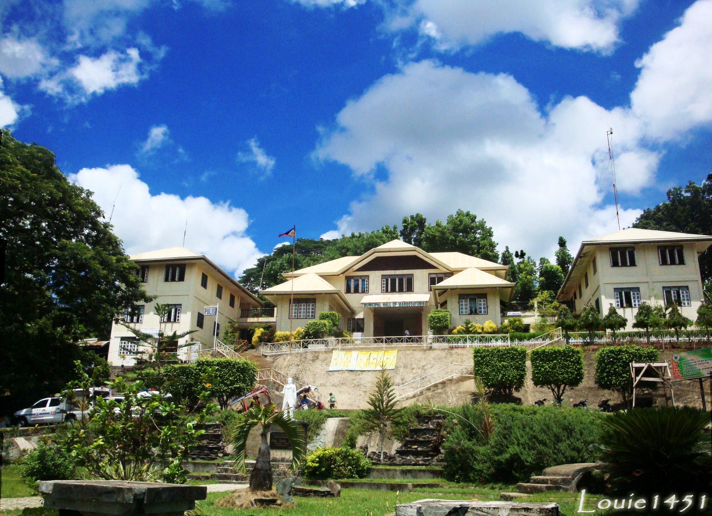
Buug
Buug ist eine philippinische Stadtgemeinde in der Provinz Zamboanga Sibugay. Sie hat 35.969 Einwohner (Zensus 1. Mai 2010). Die Dumanquilas Bay liegt teilweise im Verwaltungsgebiet der Gemeinde. bedeutende Bildungseinrichtung ist die Mindanao State University..
Buug Wikipedia-Seite

Über unsere Daten
Die Daten auf dieser Seite werden anhand verschiedener öffentlich zugänglicher Werkzeuge und Quellen geschätzt. Sie werden ohne Gewähr bereitgestellt und können Ungenauigkeiten enthalten. Nutzung auf eigene Gefahr.