Branchen
Unternehmensverteilung nach Branche in Malimono
| Branchenbeschreibung | Anzahl der Betriebe |
|---|---|
| Erziehung und Unterricht | 22 |
Malimono Facts
| Gebiet | 74.1 km² |
| Bevölkerung | 18.309 |
| Männliche Bevölkerung | 9.567 (52.3%) |
| Weibliche Bevölkerung | 8.742 (47.7%) |
| Population change (1975 to 2020) | +682.4% |
| Population change (2000 to 2020) | +67.9% |
| Mittleres Alter | 23.3 years (Male: 22.9, Female: 23.7) |
| Zeit vor Ort | |
| Zeitzone | Philippinische Normalzeit |
| Geogr. Länge & Breite | 9.61806, 125.40222 |
Karte von Malimono
Interaktive Karte
Bevölkerung von Malimono
Jahre 1975 bis 2020
| Data | 1975 | 1990 | 2000 | 2015 | 2020 |
|---|---|---|---|---|---|
| Bevölkerung | 2.340 | 6.802 | 10.907 | 17.056 | 18.309 |
| Bevölkerungsdichte | 31,6 / km² | 91,8 / km² | 147,3 / km² | 230,3 / km² | 247,2 / km² |
Bevölkerungsänderung in Malimono von 2000 bis 2015
Anstieg um 56.4 % von 2000 bis 2015
| Standort | Änderung seit 1975 | Änderung seit 1990 | Änderung seit 2000 |
|---|---|---|---|
| Malimono | +628.9% | +150.7% | +56.4% |
| Philippinen | +146.5% | +63.3% | +29.5% |
Medianalter von Malimono
Medianalter: 23.3 Jahre
| Standort | Mittleres Alter | Durchschnittsalter (weiblich) | Durchschnittsalter (männlich) |
|---|---|---|---|
| Malimono | 23.3 yrs | 23.7 yrs | 22.9 yrs |
| Philippinen | 23.2 yrs | 23.6 yrs | 22.8 yrs |
Bevölkerungsdichte von Malimono
Bevölkerungsdichte: 247 / km²
| Standort | Bevölkerung | Gebiet | Dichte |
|---|---|---|---|
| Malimono | 18.309 | 74,1 km² | 247 / km² |
| Philippinen | 96,6 million | 296.939,4 km² | 325 / km² |
Historische und prognostizierte Bevölkerung von Malimono
Geschätzte Bevölkerung von 1860 bis 2100
- JRC (Gemeinsame Forschungsstelle der Europäischen Kommission) arbeitet an GHS built-up grid
- CIESIN (Center for International Earth Science Information Network)
- [Verknüpfung] Klein Goldewijk, K., Beusen, A., Doelman, J., and Stehfest, E.: Anthropogenic land use estimates for the Holocene – HYDE 3.2, Earth Syst. Sci. Data, 9, 927–953, https://doi.org/10.5194/essd-9-927-2017, 2017.
Vorwahlen
Prozentuale Vorwahlen, die von Unternehmen in Malimono verwendet werden
Human Development Index (HDI)
Statistischer zusammengesetzter Index der Lebenserwartung, der Bildung und des Pro-Kopf-Einkommens.
CO2-Emissionen von Malimono
Kohlendioxid (CO2) -Emissionen pro Kopf in Tonnen pro Jahr
| Standort | CO2-Emissionen | CO2-Emissionen pro Kopf | Intensität der CO2-Emissionen |
|---|---|---|---|
| Malimono | 18,427 tn | 1.01 tn | 248.8 tons/km² |
| Philippinen | 104,920,564 tn | 1.09 tn | 353.3 tons/km² |
| CO2-Emissionen 2013 (Tonnen/Jahr) | 18,427 tn |
| CO2-Emissionen 2013 (Tonnen/Jahr) pro Kopf | 1.01 tn |
| CO2-Emissionsintensität 2013 (Tonnen/km²/Jahr) | 248.8 tons/km² |
Naturgefahrenrisiko
Relatives Risiko von 10
| Gefahr | Risikostufe |
|---|---|
| Dürre | Mittel (4) |
| Flut | Hoch (10) |
| Erdbeben | Hoch (9.2) |
| Zyklon | Hoch (10) |
| Erdrutsch | Hoch (10) |
* Das Risiko, insbesondere in Bezug auf Überschwemmungen oder Erdrutsche, gilt möglicherweise nicht für das gesamte Gebiet.
- Dilley, M., R.S. Chen, U. Deichmann, A.L. Lerner-Lam, M. Arnold, J. Agwe, P. Buys, O. Kjekstad, B. Lyon, and G. Yetman. 2005. Natural Disaster Hotspots: A Global Risk Analysis. Washington, D.C.: World Bank. https://doi.org/10.1596/0-8213-5930-4.
- Center for Hazards and Risk Research - CHRR - Columbia University, Center for International Earth Science Information Network - CIESIN - Columbia University, and Norwegian Geotechnical Institute - NGI. 2005. Global Landslide Hazard Distribution. Palisades, NY: NASA Socioeconomic Data and Applications Center (SEDAC). https://doi.org/10.7927/H4P848VZ.
- Center for Hazards and Risk Research - CHRR - Columbia University, Center for International Earth Science Information Network - CIESIN - Columbia University, International Bank for Reconstruction and Development - The World Bank, and United Nations Environment Programme Global Resource Information Database Geneva - UNEP/GRID-Geneva. 2005. Global Cyclone Hazard Frequency and Distribution. Palisades, NY: NASA Socioeconomic Data and Applications Center (SEDAC). https://doi.org/10.7927/H4CZ353K.
- Center for Hazards and Risk Research - CHRR - Columbia University, Center for International Earth Science Information Network - CIESIN - Columbia University, and International Research Institute for Climate and Society - IRI - Columbia University. 2005. Global Drought Hazard Frequency and Distribution. Palisades, NY: NASA Socioeconomic Data and Applications Center (SEDAC). https://doi.org/10.7927/H4VX0DFT.
- Center for Hazards and Risk Research - CHRR - Columbia University, Center for International Earth Science Information Network - CIESIN - Columbia University. 2005. Global Flood Hazard Frequency and Distribution. Palisades, NY: NASA Socioeconomic Data and Applications Center (SEDAC). https://doi.org/10.7927/H4668B3D.
- Center for Hazards and Risk Research - CHRR - Columbia University, Center for International Earth Science Information Network - CIESIN - Columbia University. 2005. Global Earthquake Hazard Distribution - Peak Ground Acceleration. Palisades, NY: NASA Socioeconomic Data and Applications Center (SEDAC). https://doi.org/10.7927/H4BZ63ZS.
Aktuelle Erdbeben in der Nähe
Magnitude 3.0 und höher
| Datum▼ | Zeit↕ | Magnitude↕ | Distance↕ | Tiefe↕ | Standort↕ | Verknüpfung |
|---|---|---|---|---|---|---|
| 6/29/19 | 7:00 PM | 5 | 38.1 km | 44,540 m | 32km SW of Pintuyan, Philippines | usgs.gov |
| 7/10/18 | 4:24 PM | 5.1 | 19.9 km | 43,120 m | 10km W of San Francisco, Philippines | usgs.gov |
| 7/10/18 | 7:54 AM | 4.7 | 16.4 km | 53,420 m | 4km WSW of San Francisco, Philippines | usgs.gov |
| 6/1/18 | 1:31 PM | 4.5 | 31.5 km | 40,560 m | 5km NE of Jabonga, Philippines | usgs.gov |
| 1/19/18 | 7:11 PM | 4.4 | 27.5 km | 10,000 m | 7km WNW of Jabonga, Philippines | usgs.gov |
| 11/12/17 | 6:33 AM | 4.7 | 35.7 km | 56,190 m | 8km S of Basilisa, Philippines | usgs.gov |
| 4/19/17 | 4:26 AM | 4.6 | 29.6 km | 97,590 m | 6km WNW of Jabonga, Philippines | usgs.gov |
| 3/14/17 | 11:47 AM | 4.7 | 16.2 km | 40,980 m | 5km WSW of San Francisco, Philippines | usgs.gov |
| 3/5/17 | 4:06 AM | 4.3 | 27 km | 10,000 m | 5km NNE of Mabua, Philippines | usgs.gov |
| 3/5/17 | 12:08 AM | 5.7 | 25.7 km | 10,510 m | 5km N of Surigao, Philippines | usgs.gov |
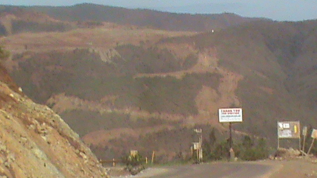
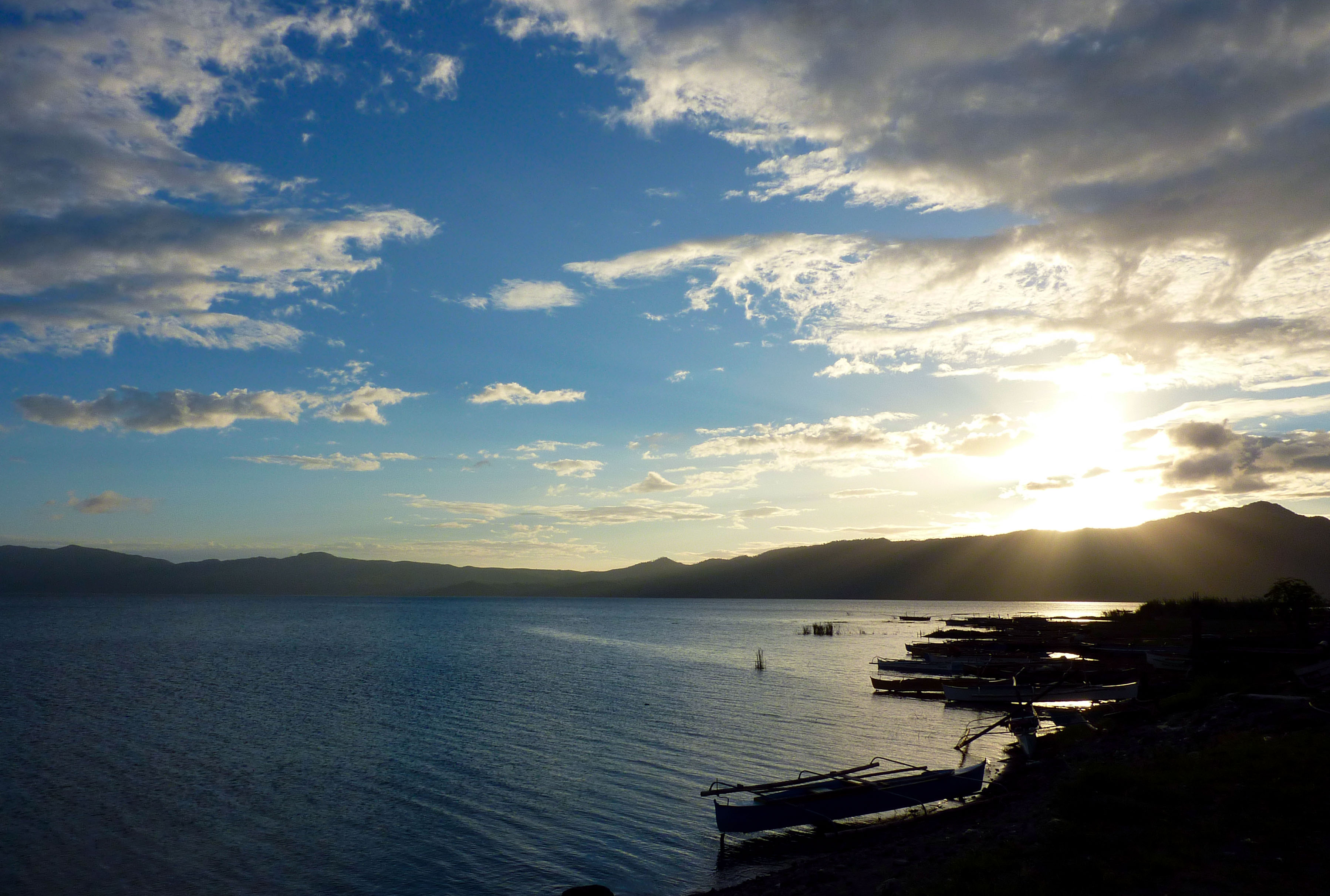
Malimono
Malimono ist eine philippinische Stadtgemeinde in der Provinz Surigao del Norte. Sie hat 18.316 Einwohner (Zensus 1. Mai 2010).
Malimono Wikipedia-Seite
Über unsere Daten
Die Daten auf dieser Seite werden anhand verschiedener öffentlich zugänglicher Werkzeuge und Quellen geschätzt. Sie werden ohne Gewähr bereitgestellt und können Ungenauigkeiten enthalten. Nutzung auf eigene Gefahr.