Kategorien in Amphoe Kantang
Branchen
Unternehmensverteilung nach Branche in Amphoe Kantang
| Branchenbeschreibung | Anzahl der Betriebe |
|---|---|
| Restaurants | 204 |
| Sonstige Beherbergungsstätten | 98 |
| Lebensmittelläden und Supermärkte | 90 |
| Einkaufen | 87 |
| Cafés | 75 |
| Erziehung und Unterricht | 53 |
| Öffentliche Verwaltung | 50 |
| Andere Mitgliederorganisationen | 39 |
| Reisebüros | 33 |
| Shopping Sonstige | 31 |
| Religion | 29 |
Amphoe Kantang Facts
| Gebiet | 23.1 km² |
| Bevölkerung | 26.708 |
| Männliche Bevölkerung | 13.080 (49.0%) |
| Weibliche Bevölkerung | 13.628 (51.0%) |
| Population change (1975 to 2020) | -4.3% |
| Population change (2000 to 2020) | -17.9% |
| Mittleres Alter | 32.2 years (Male: 31.4, Female: 33.1) |
| BIP pro Kopf (KKP) | $6.196 (2022) |
| Stadtviertel | Tambon Kantang, Kantang, Tambon Ko Libong, Tambon Bang Pao, อำเภอเมืองกันตัง |
| Zeit vor Ort | |
| Zeitzone | Indochina-Zeit |
| Geogr. Länge & Breite | 7.40542, 99.51561 |
| Postleitzahlen | 92110 |
Karte von Amphoe Kantang
Interaktive Karte
Bevölkerung von Amphoe Kantang
Jahre 1975 bis 2030
| Data | 1975 | 1990 | 2000 | 2015 | 2020 | 2025* | 2030* |
|---|---|---|---|---|---|---|---|
| Bevölkerung | 27.908 | 34.423 | 32.539 | 28.423 | 26.708 | 23.954 | 21.730 |
| Bevölkerungsdichte | 1.210,1 / km² | 1.492,6 / km² | 1.410,9 / km² | 1.232,4 / km² | 1.158,1 / km² | 1.038,7 / km² | 942,2 / km² |
Bevölkerungsänderung in Amphoe Kantang von 2000 bis 2020
Rückgang um 17.9 % von 2000 bis 2020
| Standort | Änderung seit 1975 | Änderung seit 1990 | Änderung seit 2000 |
|---|---|---|---|
| Amphoe Kantang | -4.3% | -22.4% | -17.9% |
| Trang (Provinz) | — | — | — |
| Thailand | — | — | — |
Medianalter von Amphoe Kantang
Medianalter: 32.2 Jahre
| Standort | Mittleres Alter | Durchschnittsalter (weiblich) | Durchschnittsalter (männlich) |
|---|---|---|---|
| Amphoe Kantang | 32.2 yrs | 33.1 yrs | 31.4 yrs |
| Trang (Provinz) | 32.2 yrs | 33.1 yrs | 31.4 yrs |
| Thailand | 35.2 yrs | 36 yrs | 34.3 yrs |
Bevölkerungsdichte von Amphoe Kantang
Bevölkerungsdichte: 1.158 / km²
| Standort | Bevölkerung | Gebiet | Dichte |
|---|---|---|---|
| Amphoe Kantang | 26.708 | 23,1 km² | 1.158 / km² |
| Trang (Provinz) | 551.630 | 4.700,6 km² | 117 / km² |
| Thailand | 67,6 million | 514.961,7 km² | 131 / km² |
Historische und prognostizierte Bevölkerung von Amphoe Kantang
Geschätzte Bevölkerung von 1200 bis 2100
- JRC (Gemeinsame Forschungsstelle der Europäischen Kommission) arbeitet an GHS built-up grid
- CIESIN (Center for International Earth Science Information Network)
- [Verknüpfung] Klein Goldewijk, K., Beusen, A., Doelman, J., and Stehfest, E.: Anthropogenic land use estimates for the Holocene – HYDE 3.2, Earth Syst. Sci. Data, 9, 927–953, https://doi.org/10.5194/essd-9-927-2017, 2017.
Stadtteile in Amphoe Kantang
Prozentsatz der Unternehmen nach Stadtteil in Amphoe Kantang
Vorwahlen
Prozentuale Vorwahlen, die von Unternehmen in Amphoe Kantang verwendet werden
Price Distribution
Geschäftsverteilung nach Preis für Amphoe Kantang
Human Development Index (HDI)
Statistischer zusammengesetzter Index der Lebenserwartung, der Bildung und des Pro-Kopf-Einkommens.
Bruttoinlandsprodukt (BIP) von Amphoe Kantang
BIP pro Kopf, KKP (konstante internationale $ von 2017)
| Data | 1990 | 1995 | 2000 | 2005 | 2010 | 2015 | 2020 | 2022 |
|---|---|---|---|---|---|---|---|---|
| BIP pro Kopf | $2.858 | $4.165 | $3.601 | $5.853 | $6.457 | $5.746 | $5.301 | $6.196 |
| BIP insgesamt | $7,6 Mio. | $10,7 Mio. | $8,3 Mio. | $13,8 Mio. | $15,8 Mio. | $14,1 Mio. | $12,6 Mio. | $14,3 Mio. |
CO2-Emissionen von Amphoe Kantang
Kohlendioxid (CO2) -Emissionen pro Kopf in Tonnen pro Jahr
| Standort | CO2-Emissionen | CO2-Emissionen pro Kopf | Intensität der CO2-Emissionen |
|---|---|---|---|
| Amphoe Kantang | 136,771 tn | 5.12 tn | 5,930.4 tons/km² |
| Trang (Provinz) | 2,758,050 tn | 5 tn | 586.7 tons/km² |
| Thailand | 278,589,420 tn | 4.12 tn | 541 tons/km² |
| CO2-Emissionen 2013 (Tonnen/Jahr) | 136,771 tn |
| CO2-Emissionen 2013 (Tonnen/Jahr) pro Kopf | 5.12 tn |
| CO2-Emissionsintensität 2013 (Tonnen/km²/Jahr) | 5,930.4 tons/km² |
Naturgefahrenrisiko
Relatives Risiko von 10
| Gefahr | Risikostufe |
|---|---|
| Flut | Hoch (10) |
| Erdbeben | Niedrig (2) |
* Das Risiko, insbesondere in Bezug auf Überschwemmungen oder Erdrutsche, gilt möglicherweise nicht für das gesamte Gebiet.
- Dilley, M., R.S. Chen, U. Deichmann, A.L. Lerner-Lam, M. Arnold, J. Agwe, P. Buys, O. Kjekstad, B. Lyon, and G. Yetman. 2005. Natural Disaster Hotspots: A Global Risk Analysis. Washington, D.C.: World Bank. https://doi.org/10.1596/0-8213-5930-4.
- Center for Hazards and Risk Research - CHRR - Columbia University, Center for International Earth Science Information Network - CIESIN - Columbia University. 2005. Global Flood Hazard Frequency and Distribution. Palisades, NY: NASA Socioeconomic Data and Applications Center (SEDAC). https://doi.org/10.7927/H4668B3D.
- Center for Hazards and Risk Research - CHRR - Columbia University, Center for International Earth Science Information Network - CIESIN - Columbia University. 2005. Global Earthquake Hazard Distribution - Peak Ground Acceleration. Palisades, NY: NASA Socioeconomic Data and Applications Center (SEDAC). https://doi.org/10.7927/H4BZ63ZS.
Aktuelle Erdbeben in der Nähe
Magnitude 3.0 und höher
| Datum▼ | Zeit↕ | Magnitude↕ | Distance↕ | Tiefe↕ | Standort↕ | Verknüpfung |
|---|---|---|---|---|---|---|
| 5/5/15 | 9:18 PM | 4.2 | 99.7 km | 10,000 m | 18km ESE of Ban Phlu Nai (1), Thailand | usgs.gov |
| 3/24/15 | 10:32 PM | 3.4 | 93.7 km | 10,000 m | 26km SE of Ban Phlu Nai (1), Thailand | usgs.gov |
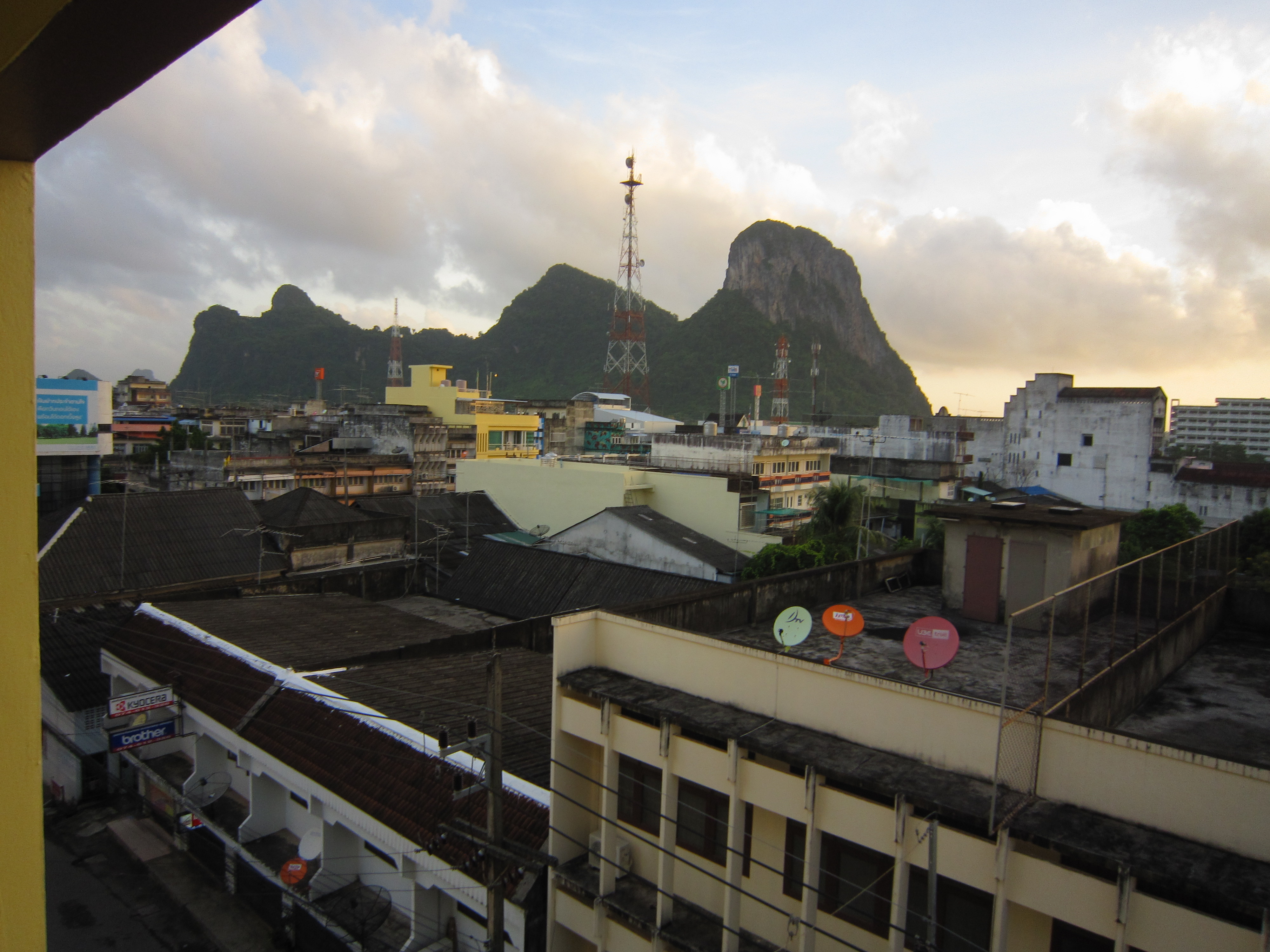
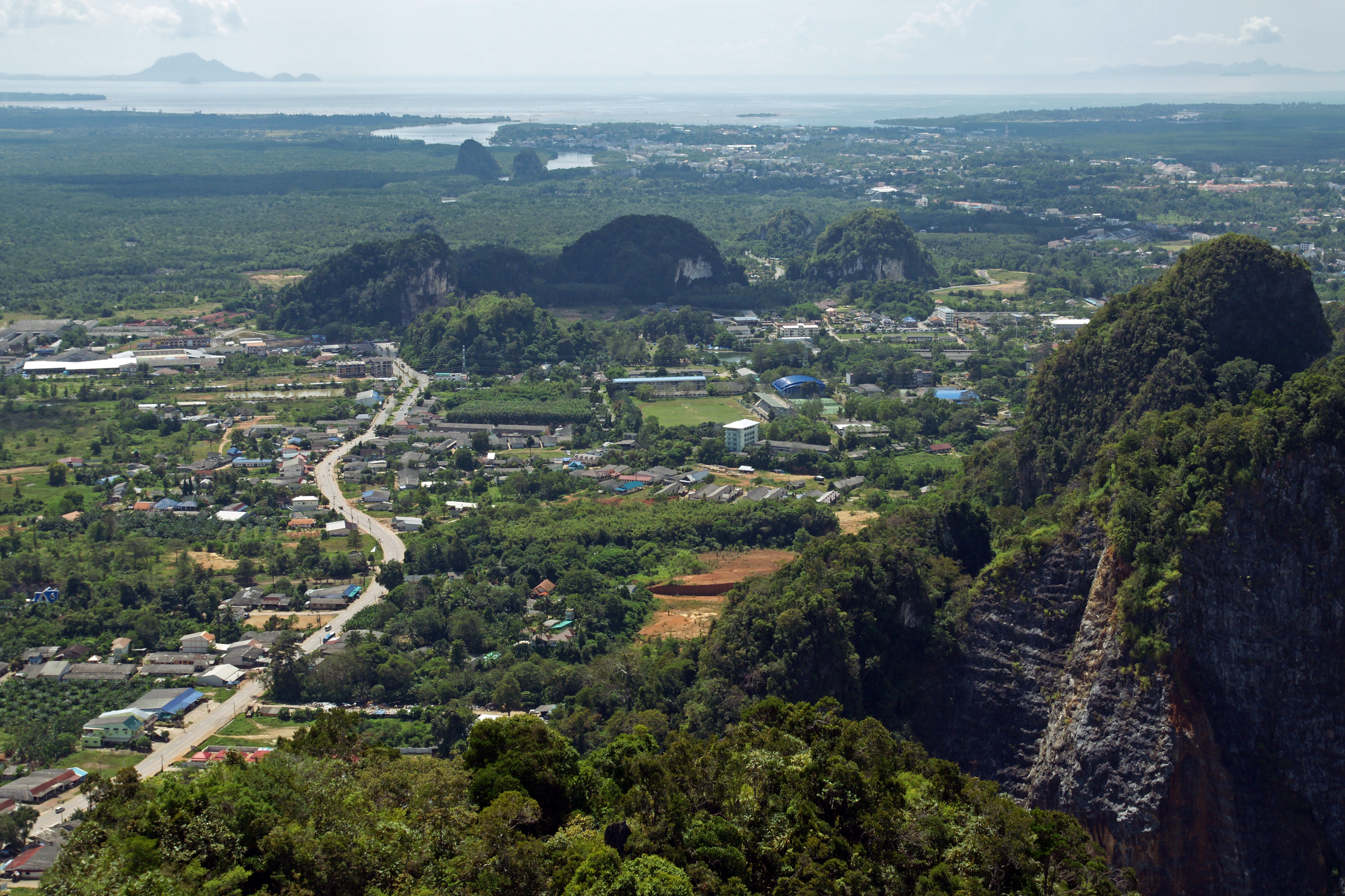
Amphoe Kantang
Amphoe Kantang (Thai: อำเภอ กันตัง) ist ein Landkreis (Amphoe – Verwaltungs-Distrikt) der Provinz Trang. Die Provinz Trang liegt in der Südregion von Thailand.
Amphoe Kantang Wikipedia-Seite
Über unsere Daten
Die Daten auf dieser Seite werden anhand verschiedener öffentlich zugänglicher Werkzeuge und Quellen geschätzt. Sie werden ohne Gewähr bereitgestellt und können Ungenauigkeiten enthalten. Nutzung auf eigene Gefahr.