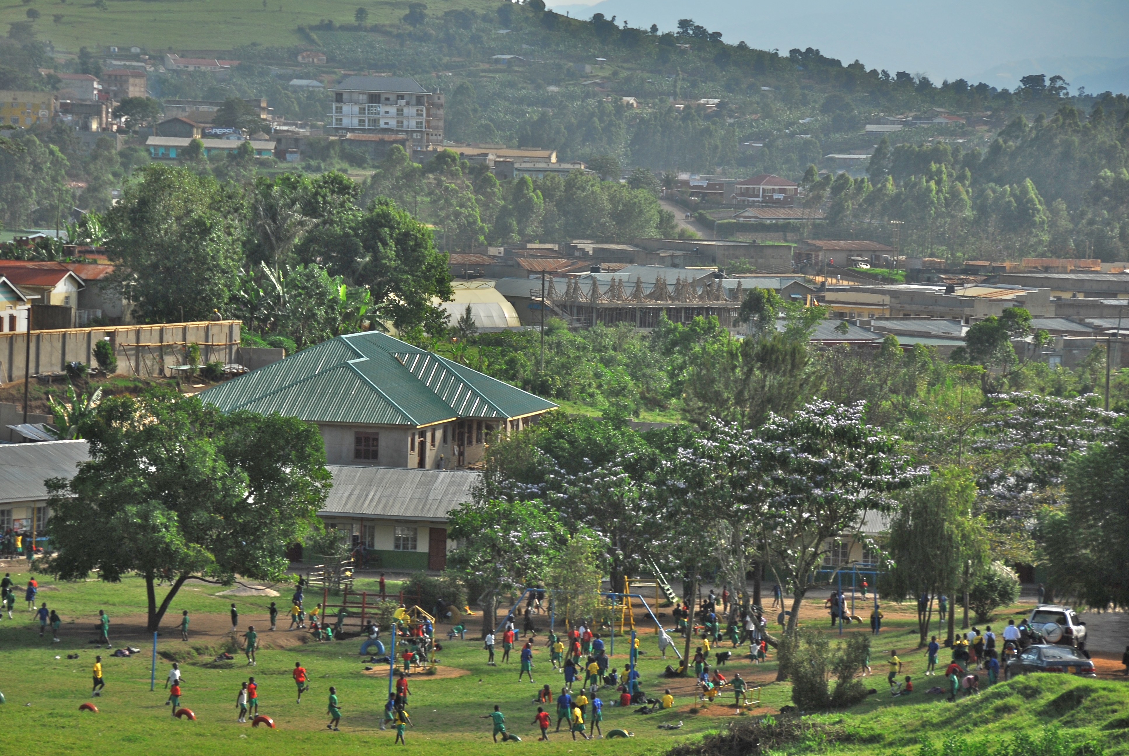
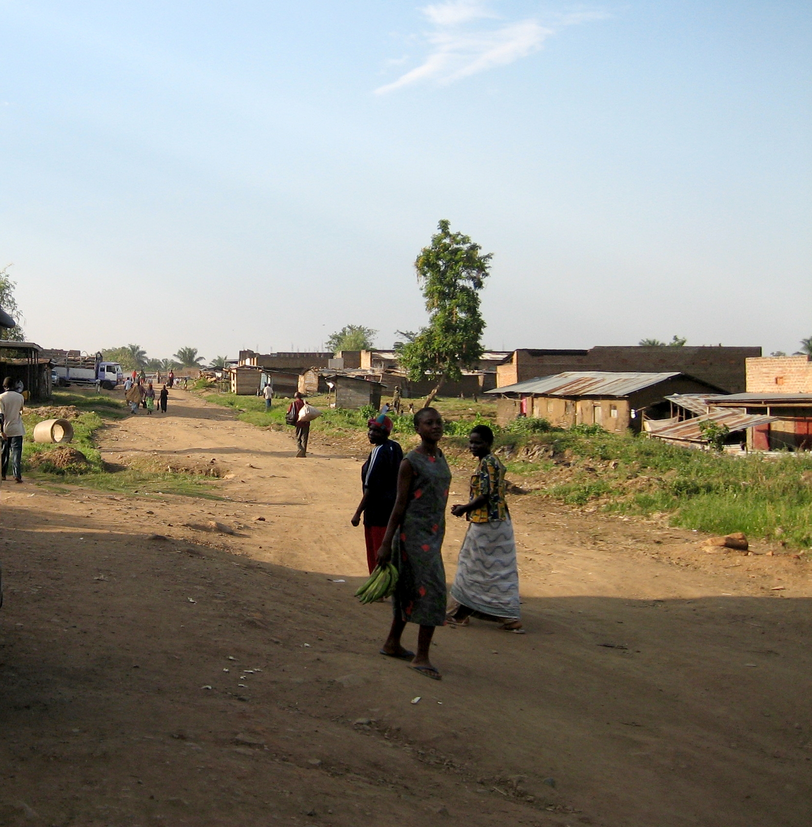
Muhororo Facts
| Zeit vor Ort | |
| Zeitzone | Ostafrikanische Zeit |
| Geogr. Länge & Breite | 0.93806, 30.75944 |
Karte von Muhororo
Interaktive Karte
Aktuelle Erdbeben in der Nähe
Magnitude 3.0 und höher
| Datum▼ | Zeit↕ | Magnitude↕ | Distance↕ | Tiefe↕ | Standort↕ | Verknüpfung |
|---|---|---|---|---|---|---|
| 9/13/18 | 11:52 PM | 4.5 | 98.7 km | 10,000 m | 17km SW of Bundibugyo, Uganda | usgs.gov |
| 2/25/17 | 5:19 PM | 4.7 | 65.8 km | 10,000 m | 25km W of Hoima, Uganda | usgs.gov |
| 2/18/17 | 3:37 AM | 4.2 | 57.6 km | 10,000 m | 53km NNE of Ntoroko, Uganda | usgs.gov |
| 11/24/15 | 5:47 PM | 4.2 | 67.2 km | 10,000 m | 29km W of Hoima, Uganda | usgs.gov |
| 7/17/15 | 6:32 PM | 4.4 | 59.7 km | 10,080 m | 26km WNW of Ntoroko, Uganda | usgs.gov |
| 10/31/14 | 1:05 AM | 4.5 | 98.4 km | 10,000 m | 14km NE of Margherita, Uganda | usgs.gov |
| 9/21/14 | 10:18 AM | 4.4 | 60.9 km | 10,000 m | 10km NNW of Fort Portal, Uganda | usgs.gov |
| 10/8/13 | 8:40 AM | 4.6 | 68.4 km | 24,950 m | 35km E of Bunia, Democratic Republic of the Congo | usgs.gov |
| 8/5/13 | 11:39 AM | 4.1 | 79.7 km | 10,000 m | 58km W of Kigorobya, Uganda | usgs.gov |
| 8/5/13 | 7:33 AM | 4.7 | 83.2 km | 10,000 m | 28km W of Kigorobya, Uganda | usgs.gov |
Quelle: U.S. Geological Survey (USGS)

Über unsere Daten
Die Daten auf dieser Seite werden anhand verschiedener öffentlich zugänglicher Werkzeuge und Quellen geschätzt. Sie werden ohne Gewähr bereitgestellt und können Ungenauigkeiten enthalten. Nutzung auf eigene Gefahr.