Chariot Facts
| Zeit vor Ort | |
| Zeitzone | Alaska-Sommerzeit |
| Geogr. Länge & Breite | 68.10583, -165.74278 |
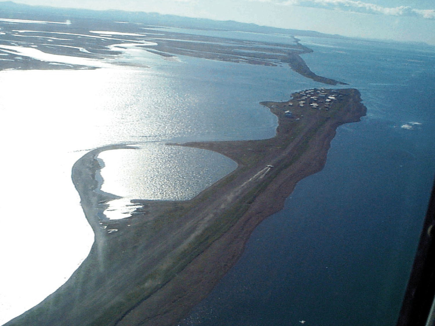
Karte von Chariot
Interaktive Karte
Aktuelle Erdbeben in der Nähe
Magnitude 3.0 und höher
| Datum▼ | Zeit↕ | Magnitude↕ | Distance↕ | Tiefe↕ | Standort↕ | Verknüpfung |
|---|---|---|---|---|---|---|
| 12/2/18 | 1:22 PM | 3.4 | 25.7 km | 5,300 m | 55km SE of Point Hope, Alaska | usgs.gov |
| 11/10/18 | 2:15 PM | 4 | 18.9 km | 12,200 m | 47km SE of Point Hope, Alaska | usgs.gov |
| 3/24/17 | 7:55 PM | 3.1 | 75.4 km | 17,400 m | 68km SSW of Point Hope, Alaska | usgs.gov |
| 3/17/17 | 3:02 PM | 3.7 | 40.9 km | 11,200 m | 50km S of Point Hope, Alaska | usgs.gov |
| 11/20/16 | 8:45 PM | 3.1 | 41.1 km | 37,800 m | 62km SSE of Point Hope, Alaska | usgs.gov |
| 7/27/16 | 3:41 PM | 3 | 64.2 km | 2,200 m | 73km S of Point Hope, Alaska | usgs.gov |
| 7/4/16 | 12:04 PM | 3 | 63.9 km | 5,800 m | 77km S of Point Hope, Alaska | usgs.gov |
| 7/4/16 | 10:57 AM | 3.4 | 71.2 km | 10,400 m | 79km S of Point Hope, Alaska | usgs.gov |
| 3/2/16 | 3:36 AM | 3 | 72.9 km | 28,400 m | 92km S of Point Hope, Alaska | usgs.gov |
| 1/14/16 | 3:11 PM | 3 | 66.5 km | 29,600 m | 91km W of Noatak, Alaska | usgs.gov |
Quelle: U.S. Geological Survey (USGS)

Über unsere Daten
Die Daten auf dieser Seite werden anhand verschiedener öffentlich zugänglicher Werkzeuge und Quellen geschätzt. Sie werden ohne Gewähr bereitgestellt und können Ungenauigkeiten enthalten. Nutzung auf eigene Gefahr.