Kategorien in Tumlong
Branchen
Unternehmensverteilung nach Branche in Tumlong
| Branchenbeschreibung | Anzahl der Betriebe |
|---|---|
| Erziehung und Unterricht | 9 |
Tumlong Facts
| Zeit vor Ort | |
| Zeitzone | Indische Normalzeit |
| Geogr. Länge & Breite | 27.41667, 88.58333 |
| Postleitzahlen | 737119 |
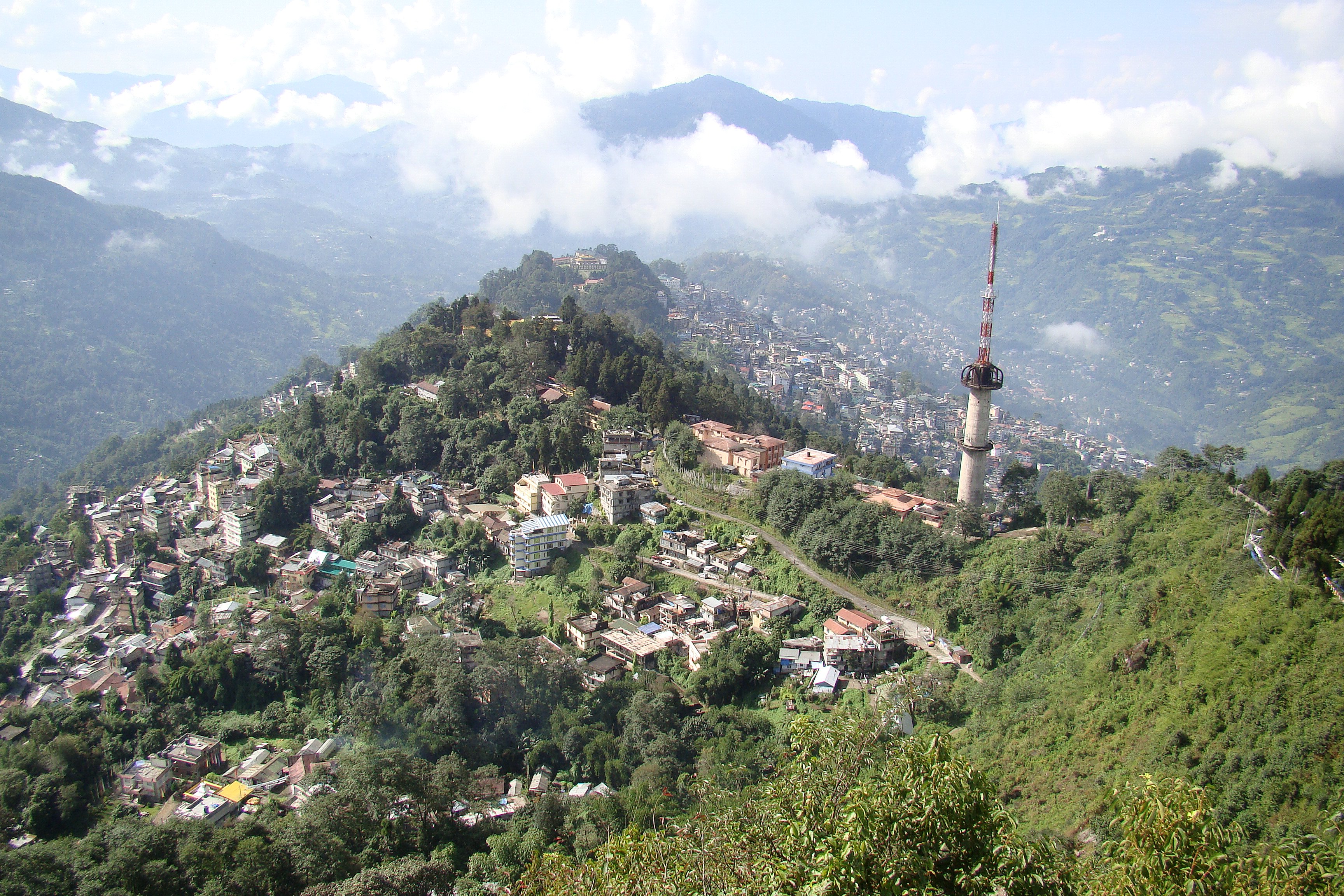
Karte von Tumlong
Interaktive Karte
Aktuelle Erdbeben in der Nähe
Magnitude 3.0 und höher
| Datum▼ | Zeit↕ | Magnitude↕ | Distance↕ | Tiefe↕ | Standort↕ | Verknüpfung |
|---|---|---|---|---|---|---|
| 1/16/19 | 11:56 PM | 3.8 | 49 km | 10,000 m | 27km NW of Samtse, Bhutan | usgs.gov |
| 6/20/18 | 4:15 AM | 4.4 | 81.7 km | 52,910 m | 29km NNW of Ilam, Nepal | usgs.gov |
| 6/17/18 | 3:07 PM | 4.4 | 10.8 km | 49,760 m | 12km SSW of Mangan, India | usgs.gov |
| 12/2/17 | 11:43 PM | 4.2 | 51.8 km | 10,000 m | 24km NW of Naya Bazar, India | usgs.gov |
| 5/16/17 | 10:13 PM | 4.2 | 42 km | 10,000 m | 23km NNW of Naya Bazar, India | usgs.gov |
| 3/26/17 | 9:42 PM | 4.5 | 30.6 km | 24,390 m | 5km SSE of Rangpo, India | usgs.gov |
| 3/7/17 | 10:28 AM | 4 | 76.4 km | 10,000 m | 2km NE of Samtse, Bhutan | usgs.gov |
| 3/12/16 | 4:15 PM | 3.9 | 87.2 km | 14,880 m | 9km NW of Birpara, India | usgs.gov |
| 2/13/16 | 9:37 PM | 3.7 | 73.8 km | 50,320 m | 16km NNE of Samtse, Bhutan | usgs.gov |
| 10/10/15 | 1:48 AM | 4.3 | 28 km | 48,220 m | 20km ESE of Gangtok, India | usgs.gov |
Quelle: U.S. Geological Survey (USGS)


Über unsere Daten
Die Daten auf dieser Seite werden anhand verschiedener öffentlich zugänglicher Werkzeuge und Quellen geschätzt. Sie werden ohne Gewähr bereitgestellt und können Ungenauigkeiten enthalten. Nutzung auf eigene Gefahr.